Disclosure : This site contains affiliate links to products. We may receive a commission for purchases made through these links.
NOAA Chart 17328 – Baranof lsland’”Snipe Bay to Crawfish Inlet
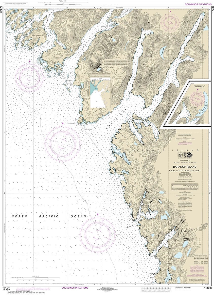
NOAA maintains the nautical charts and publications for U.S. coasts and the Great Lakes. Over a thousand charts cover 95,000 miles of shoreline and 3.4 million square nautical miles of waters.Printed on demand using the most up to date NOAA data and latest Notice to Mariners (NTMs) applied at time of print. Meets United States Coast Guard carriage requirements.Printed in house at Stanfords.
Related Products:
 NOAA Chart 17326 – Crawfish Inlet to Sitka – Sawmill Cove
 NOAA Chart 16500 – Unalaska lsland to Amukta lsland
 NOAA Chart 14772 – Ironsides lsland, N.Y., to Bingham lsland, Ont.
 NOAA Chart 12318 – Little Egg Inlet to Hereford Inlet – Absecon Inlet
 NOAA Chart 12358 – New York’”Long Island, Shelter lsland Sound and Peconic Bays – Mattituck Inlet
 NOAA Chart 17330 – West Coast of Baranof Island’”Cape Ommaney to Byron Bay
 NOAA Chart 11466 – Jupiter Inlet to Fowey Rocks – Lake Worth Inlet
 NOAA Chart 17437 – Portland Inlet to Nakat Bay – Hidden Inlet
 NOAA Chart 14771 – Butternut Bay, Ont., to Ironsides lsland., N.Y
 NOAA Chart 18456 – Olympia Harbor and Budd Inlet
 NOAA Chart 12323 – Sea Girt to Little Egg Inlet
 NOAA Chart 18452 – Sinclair Inlet
 NOAA Chart 17312 – Hawk Inlet
 NOAA Chart 16522 – Beaver Inlet
 NOAA Chart 16460 – Igitkin lsland to Semisopochnoi Island
 NOAA Chart 16477 – Tagalak Island to Little Tanaga lsland
 NOAA Chart 14802 – Clayton to False Ducks lsland
 NOAA Chart 12284 – Patuxent River’”Solomons lsland and Vicinity
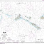 NOAA Chart 16440 – Rat Islands’”Semisopochnoi Island to Buldir lsland
 NOAA Chart 16710 – Orca Bay and lnlet’”Channel lsland to Cordova
 NOAA Chart 14774 – Round lsland, N.Y., and Gananoque, Ont., to Wolfe l., Ont.
 NOAA Chart 12211 – Fenwick Island to Chincoteague Inlet – Ocean City Inlet
 NOAA Chart 16553 – Shumagin Islands’”Nagai lsland to Unga lsland – Delarof Harbor – Popof Strait (northern part)
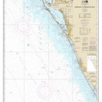 NOAA Chart 11424 – Lemon Bay to Passage Key Inlet
 NOAA Chart 12350 – Jamaica Bay and Rockaway Inlet
 NOAA Chart 16085 – Wainwright Inlet to Atanik
 NOAA Chart 17315 – Gastineau Channel and Taku Inlet – Juneau Harbor
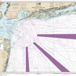 NOAA Chart 12326 – Approaches to New York’”Fire lsland Light to Sea Girt
 NOAA Chart 12339 – East River’”Tallman lsland to Queensboro Bridge
 NOAA Chart 16640 – Cook Inlet (southern part)
 NOAA Chart 16660 – Cook Inlet (northern part)
 NOAA Chart 11539 – New River Inlet to Cape Fear
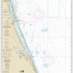 NOAA Chart 11474 – Bethel Shoal to Jupiter Inlet
 NOAA Chart 17431 – North end of Cordova Bay and Hetta Inlet
 NOAA Chart 18471 – Approaches to Admiralty Inlet’”Dungeness to Oak Bay
 NOAA Chart 18457 – Puget Sound’”Hammersley Inlet to Shelton
 NOAA Chart 11484 – Ponce de Leon Inlet to Cape Canaveral
 NOAA Chart 11486 – St. Augustine Light to Ponce de Leon Inlet
 NOAA Chart 11555 – Cape Hatteras’”Wimble Shoals to Ocracoke Inlet
 NOAA Chart 16647 – Cook Inlet’”Cape Elizabeth to Anchor Point


