Disclosure : This site contains affiliate links to products. We may receive a commission for purchases made through these links.
NOAA Chart 16005 – Cape Prince of Wales to Point Barrow
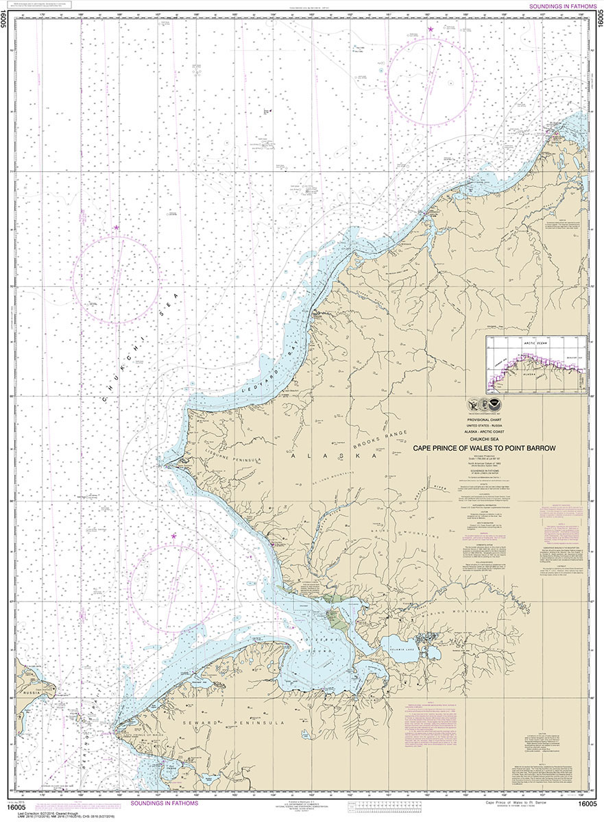
NOAA maintains the nautical charts and publications for U.S. coasts and the Great Lakes. Over a thousand charts cover 95,000 miles of shoreline and 3.4 million square nautical miles of waters.Printed on demand using the most up to date NOAA data and latest Notice to Mariners (NTMs) applied at time of print. Meets United States Coast Guard carriage requirements.Printed in house at Stanfords.
Related Products:
 NOAA Chart 17378 – Port Protection’”Prince of Wales Island
 NOAA Chart 17381 – Red Bay’”Prince of Wales Island
 NOAA Chart 17433 – Prince of Wales Island’”Kendrick Bay to Shipwreck Point
 NOAA Chart 16518 – Cape Kovrizhka to Cape Cheerful
 NOAA Chart 16082 – Point Barrow and Vicinity
 NOAA Chart 12200 – Cape May to Cape Hatteras
 NOAA Chart 16004 – Point Barrow to Herschel Island
 NOAA Chart 18003 – Cape Blanco to Cape Flattery
 NOAA Chart 16122 – Cape Dyer to Cape Lisburne
 NOAA Chart 16598 – Cape Ikolik to Cape Kuliuk
 NOAA Chart 16601 – Cape Alitak to Cape lkolik
 NOAA Chart 16608 – Cape Douglas to Cape Nukshak
 NOAA Chart 13003 – Cape Sable to Cape Hatteras
 NOAA Chart 17426 – Kasaan Bay’”Prince of Wales Island – Clark Bay – Hollis Anchorage (eastern part) – Lyman Anchorage
 NOAA Chart 16700 – Prince William Sound
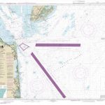 NOAA Chart 12214 – Cape May to Fenwick Island
 NOAA Chart 13246 – Cape Cod Bay
 NOAA Chart 12317 – Cape May Harbor
 NOAA Chart 18485 – Cape Flattery
 NOAA Chart 16103 – Cape Beaufort
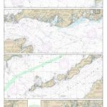 NOAA Chart 13229 – South Coast of Cape Cod and Buzzards Bay
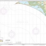 NOAA Chart 16124 – Cape Thompson to Point Hope
 NOAA Chart 13260 – Bay of Fundy to Cape Cod
 NOAA Chart 16701 – Prince William Sound’”Western Entrance
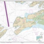 NOAA Chart 16709 – Prince William Sound’”Eastern Entrance
 NOAA Chart 11009 – Cape Hatteras to Straits of Florida
 NOAA Chart 11360 – Cape St. George to Mississippi Passes
 NOAA Chart 16705 – Prince William Sound (western part)
 NOAA Chart 13236 – Cape Cod Canal and Approaches
 NOAA Chart 18623 – Cape Mendocino and Vicinity
 NOAA Chart 18007 – San Francisco to Cape Flattery
 NOAA Chart 18020 – San Diego to Cape Mendocino
 NOAA Chart 17301 – Cape Spencer to Icy Point
 NOAA Chart 16065 – Cape Halkett and Vicinity
 NOAA Chart 16087 – Icy Cape to Nokotlek Point
 NOAA Chart 16104 – Cape Sabine (Metric)
 NOAA Chart 16121 – East of Cape Lisburne
 NOAA Chart 16568 – Wide Bay to Cape Kumlik
 NOAA Chart 11460 – Cape Canaveral to Key West
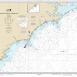 NOAA Chart 11520 – Cape Hatteras to Charleston


