Disclosure : This site contains affiliate links to products. We may receive a commission for purchases made through these links.
NOAA Chart 14838 – Buffalo to Erie – Dunkirk Harbor – Barcelona Harbor
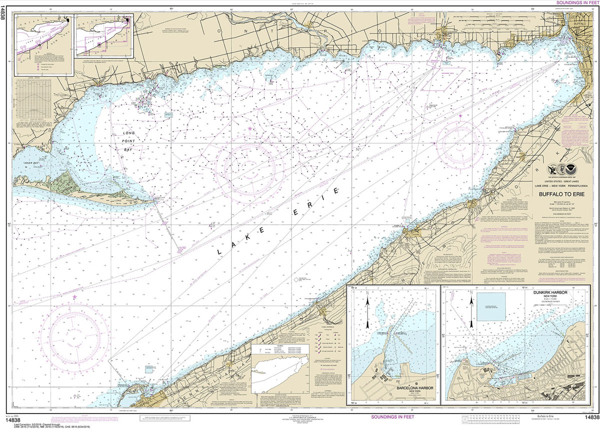
NOAA maintains the nautical charts and publications for U.S. coasts and the Great Lakes. Over a thousand charts cover 95,000 miles of shoreline and 3.4 million square nautical miles of waters.Printed on demand using the most up to date NOAA data and latest Notice to Mariners (NTMs) applied at time of print. Meets United States Coast Guard carriage requirements.Printed in house at Stanfords.
Related Products:
 NOAA Chart 14823 – Sturgeon Point to Twentymile Creek – Dunkirk Harbor – Barcelona Harbor
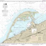 NOAA Chart 14835 – Erie Harbor
 NOAA Chart 14833 – Buffalo Harbor
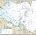 NOAA Chart 14830 – West End of Lake Erie – Port Clinton – Monroe Harbor
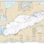 NOAA Chart 14820 – Lake Erie (Metric)
 NOAA Chart 14828 – Erie to Geneva (Metric)
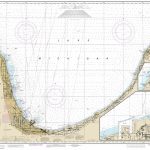 NOAA Chart 14905 – Waukegan to South Haven – Michigan City – Burns International Harbor – New Buffalo
 NOAA Chart 13250 – Wellfleet Harbor – Sesuit Harbor
 NOAA Chart 14844 – Islands in Lake Erie – Put-In-Bay
 NOAA Chart 11447 – Key West Harbor
 NOAA Chart 19353 – Harbors of Moloka`i – Kamalo Harbor – Kaunakakai Harbor – Kolo Harbor – Lono Harbor – Puko`o Harbor
 NOAA Chart 17384 – Wrangell Harbor and Approaches – Wrangell Harbor
 NOAA Chart 14969 – Munising Harbor and Approaches – Munising Harbor
 NOAA Chart 13279 – Ipswich Bay to Gloucester Harbor – Rockport Harbor
 NOAA Chart 14909 – Upper Green Bay – Detroit Harbor – Jackson Harbor – Baileys Harbor
 NOAA Chart 18456 – Olympia Harbor and Budd Inlet
 NOAA Chart 11468 – Miami Harbor
 NOAA Chart 13225 – Providence Harbor
 NOAA Chart 12281 – Baltimore Harbor
 NOAA Chart 12317 – Cape May Harbor
 NOAA Chart 13242 – Nantucket Harbor
 NOAA Chart 13249 – Provincetown Harbor
 NOAA Chart 13251 – Barnstable Harbor
 NOAA Chart 13272 – Boston Inner Harbor
 NOAA Chart 13322 – Winter Harbor
 NOAA Chart 12327 – New York Harbor
 NOAA Chart 18605 – Trinidad Harbor
 NOAA Chart 16446 – Constantine Harbor
 NOAA Chart 16516 – Chernofski Harbor
 NOAA Chart 16529 – Dutch Harbor
 NOAA Chart 14813 – Oswego Harbor
 NOAA Chart 14836 – Ashtabula Harbor
 NOAA Chart 14837 – Fairport Harbor
 NOAA Chart 14841 – Lorain Harbor
 NOAA Chart 14845 – Sandusky Harbor
 NOAA Chart 14924 – Milwaukee Harbor
 NOAA Chart 14925 – Racine Harbor
 NOAA Chart 14932 – Holland Harbor
 NOAA Chart 14938 – Manistee Harbor
 NOAA Chart 11375 – Pascagoula Harbor


