Disclosure : This site contains affiliate links to products. We may receive a commission for purchases made through these links.
NOAA Chart 14823 – Sturgeon Point to Twentymile Creek – Dunkirk Harbor – Barcelona Harbor
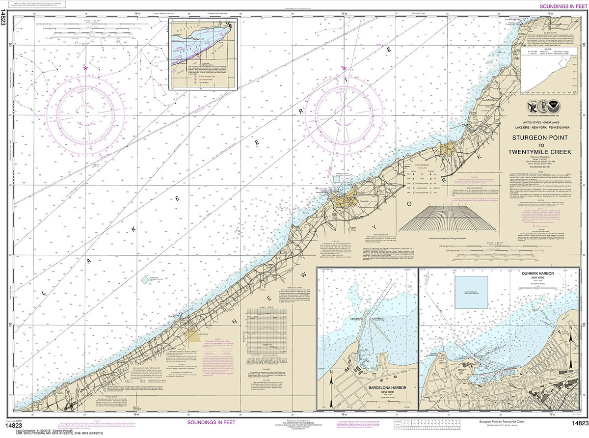
NOAA maintains the nautical charts and publications for U.S. coasts and the Great Lakes. Over a thousand charts cover 95,000 miles of shoreline and 3.4 million square nautical miles of waters.Printed on demand using the most up to date NOAA data and latest Notice to Mariners (NTMs) applied at time of print. Meets United States Coast Guard carriage requirements.Printed in house at Stanfords.
Related Products:
 NOAA Chart 14838 – Buffalo to Erie – Dunkirk Harbor – Barcelona Harbor
 NOAA Chart 14919 – Sturgeon Bay and Canal – Sturgeon Bay
 NOAA Chart 14829 – Geneva to Lorain (Metric) – Beaver Creek – Rocky River – Mentor Harbor – Chagrin River Harbor
 NOAA Chart 12289 – Potomac River’”Mattawoman Creek to Georgetown – Washington Harbor
 NOAA Chart 14824 – Sixteenmile Creek to Conneaut – Conneaut Harbor
 NOAA Chart 13250 – Wellfleet Harbor – Sesuit Harbor
 NOAA Chart 11447 – Key West Harbor
 NOAA Chart 19353 – Harbors of Moloka`i – Kamalo Harbor – Kaunakakai Harbor – Kolo Harbor – Lono Harbor – Puko`o Harbor
 NOAA Chart 14826 – Moss Point to Vermilion – Beaver Creek – Rocky River – Vermilion Harbor
 NOAA Chart 17384 – Wrangell Harbor and Approaches – Wrangell Harbor
 NOAA Chart 14969 – Munising Harbor and Approaches – Munising Harbor
 NOAA Chart 13279 – Ipswich Bay to Gloucester Harbor – Rockport Harbor
 NOAA Chart 14909 – Upper Green Bay – Detroit Harbor – Jackson Harbor – Baileys Harbor
 NOAA Chart 12338 – East River’”Newtown Creek
 NOAA Chart 18456 – Olympia Harbor and Budd Inlet
 NOAA Chart 11468 – Miami Harbor
 NOAA Chart 11524 – Charleston Harbor
 NOAA Chart 12281 – Baltimore Harbor
 NOAA Chart 12317 – Cape May Harbor
 NOAA Chart 13242 – Nantucket Harbor
 NOAA Chart 13251 – Barnstable Harbor
 NOAA Chart 13270 – Boston Harbor
 NOAA Chart 12327 – New York Harbor
 NOAA Chart 18605 – Trinidad Harbor
 NOAA Chart 18444 – Everett Harbor
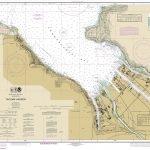 NOAA Chart 18453 – Tacoma Harbor
 NOAA Chart 16446 – Constantine Harbor
 NOAA Chart 16516 – Chernofski Harbor
 NOAA Chart 16529 – Dutch Harbor
 NOAA Chart 14813 – Oswego Harbor
 NOAA Chart 14833 – Buffalo Harbor
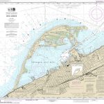 NOAA Chart 14835 – Erie Harbor
 NOAA Chart 14841 – Lorain Harbor
 NOAA Chart 14845 – Sandusky Harbor
 NOAA Chart 14924 – Milwaukee Harbor
 NOAA Chart 14925 – Racine Harbor
 NOAA Chart 14928 – Chicago Harbor
 NOAA Chart 14932 – Holland Harbor
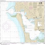 NOAA Chart 14937 – Ludington Harbor
 NOAA Chart 11375 – Pascagoula Harbor


