Disclosure : This site contains affiliate links to products. We may receive a commission for purchases made through these links.
Nivelles NGI Topo 39 – Battle of Waterloo Area
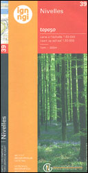
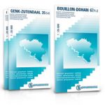
Nivelles, map No. 39 in the topographic survey of Belgium at 1:50, covering both the main area of the Battle of Waterloo on 18th June 1815 including the Mont St-Jean escarpment, the Lion’s Mound (Lion’s Hillock) and the museum, and the Les Quatre Bras crossroads – the site of French victory on 16th June.Although not specifically designed to highlight locations connected with the Battle of Waterloo, the map contains all the information expected of detailed topographic mapping at this scale and provides excellent background for exploring the area with more specialist maps or guides. For full specifications of Belgian topographic mapping at 1:50,000 and a list of titles in this series please click on the series link.


