Disclosure : This site contains affiliate links to products. We may receive a commission for purchases made through these links.
NGA Chart 61015 – Webi Jubba to Zanzibar

Produced by the US Government, National Geospatial-Intelligence Agency (NGA) charts provide information for the International Waters. They are printed on demand at our London shop and are supplied as flat charts.PLEASE NOTE: NGA charts are not updated often, therefore some may no longer be suitable for safe navigation and should be used for reference only. For more information, please email us at maritime@stanfords.co.uk.
Related Products:
 NGA Chart 62001 – Red Sea
 NGA Chart 61450 – Mozambique Channel
 NGA Chart 61003 – Durban to Algoa Bay
 NGA Chart 95016 – Sea of Japan
 NGA Chart 21530 – La Union
 NGA Chart 21563 – Golfito
 NGA Chart 26145 – Manzanillo
 NGA Chart 26146 – Cap-Haitien
 NGA Chart 26182 – Gonaives
 NGA Chart 26206 – Aquin
 NGA Chart 26207 – Jacmel
 NGA Chart 26284 – Cat Island
 NGA Chart 28082 – Bluefields
 NGA Chart 54089 – Tivat
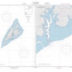 NGA Chart 81187 – Yap Islands
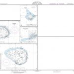 NGA Chart 81249 – Nukuoro
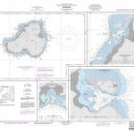 NGA Chart 81488 – Kosrae
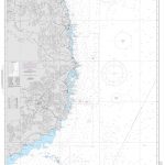 NGA Chart 93022 – Mui Ke Ga to Mui Ba Lang
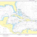 NGA Chart 400 – West Indies
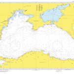 NGA Chart 55001 – Black Sea
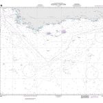 NGA Chart 61000 – Algoa Bay to Cape Town
 NGA Chart 51200 – Moulay Bou Selham to Rabat and Sale
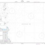 NGA Chart 91175 – N.E. Luzon
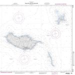 NGA Chart 51261 – Arquipelago da Madeira
 NGA Chart 72000 – Java Sea
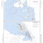 NGA Chart 26255 – Racoon Cut
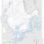 NGA Chart 37000 – The North Sea
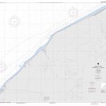 NGA Chart 51321 – Approaches to Tan Tan
 NGA Chart 92020 – Sulu Sea
 NGA Chart 93020 – Mui Ong Thay to Mui Ke Ga
 NGA Chart 55141 – Port of Bat`umi
 NGA Chart 51220 – Rabat and Sale to el Jorf Lasfar
 NGA Chart 51559 – Port de Dakar and Baie de Goree
 NGA Chart 61020 – Mozambique Channel-Southern Reaches
 NGA Chart 61400 – Mozambique Channel-Northern Reaches
 NGA Chart 19008 – Hawaiian Islands
 NGA Chart 26263 – Mayaguana Island
 NGA Chart 61650 – Iles Kerguelen
 NGA Chart 96032 – Mys Kronotskiy to Mys Navarin
 NGA Chart 96004 – Mys Belkina to Vladivostok


