Disclosure : This site contains affiliate links to products. We may receive a commission for purchases made through these links.
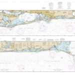
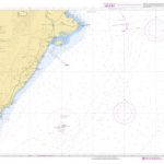
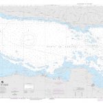
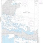
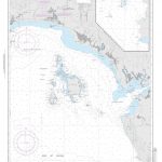
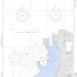
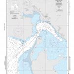
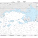
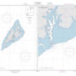
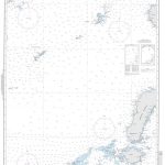
NGA Chart 28054 – Bahia Almirante
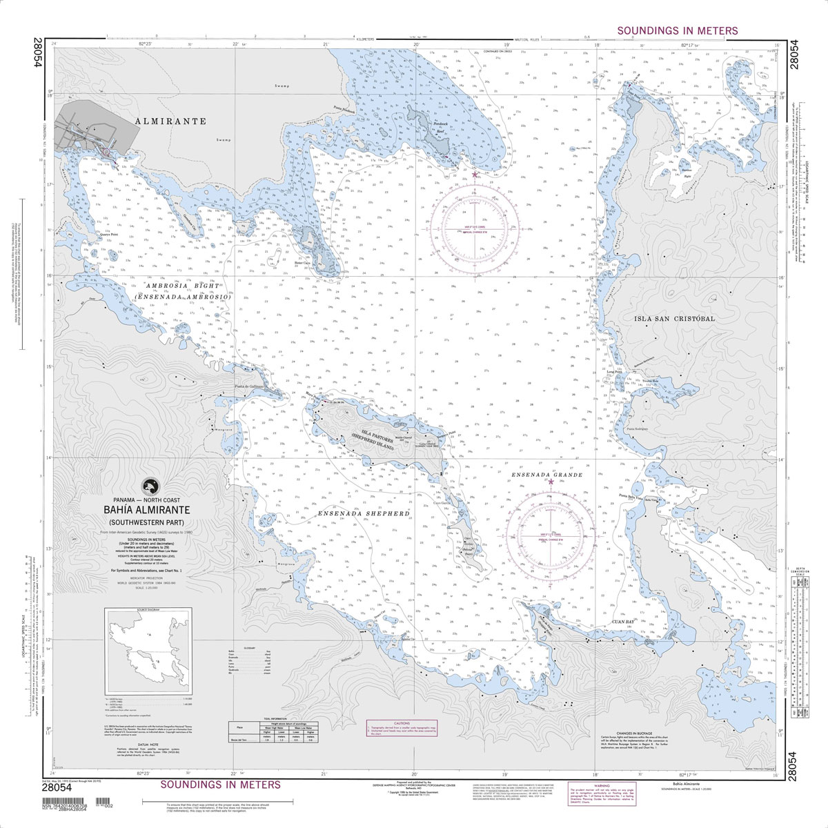
Produced by the US Government, National Geospatial-Intelligence Agency (NGA) charts provide information for the International Waters. They are printed on demand at our London shop and are supplied as flat charts.PLEASE NOTE: NGA charts are not updated often, therefore some may no longer be suitable for safe navigation and should be used for reference only. For more information, please email us at maritime@stanfords.co.uk.

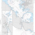
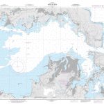
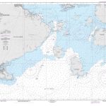
Related Products:
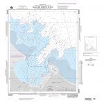
 NGA Chart 21543 – Plan A, Bahia Brasilito & Bahia Potrero
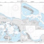
 NGA Chart 21526 – Bahia de San Lorenzo
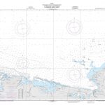
 NGA Chart 25724 – Bahia de Samana
 NGA Chart 27163 – Bahia de Cienfuegos
 NGA Chart 26259 – Bahia de Nipe
 NGA Chart 21529 – Bahia de La Union and Approaches
 NGA Chart 25723 – Approaches to Bahia de Samana
 NGA Chart 25803 – Bahia de Puerto Plata
 NGA Chart 26245 – Bahia de Sagua de Tanamo
 NGA Chart 26142 – Approaches to Cap-Haitien and Bahia de Monte Cristi
 NGA Chart 21036 – Golfo Dulce to Bahia de Paita
 NGA Chart 26244 – Punta Silencio to Bahia Sama
 NGA Chart 26247 – Entrance Channel to Bahia de Banes
 NGA Chart 28051 – Puerto Limon and Bahia de Moin
 NGA Chart 21605 – Panama to Bahia Pina
 NGA Chart 26224 – Bahia de Santiago de Cuba
 NGA Chart 25845 – Puerto Viejo de Azua and Bahia de Las Calderas
 NGA Chart 28049 – Approaches to Puerto Limon and Bahia de Moin
 NGA Chart 26143 – Bahia de Monte Cristi Dominican Republic
 NGA 26042 – Bahia Concepcion to Punta Brava
 NGA 26063 – Punta San Blas to Bahia Concepcion
 NGA Chart 21530 – La Union
 NGA Chart 21563 – Golfito
 NGA Chart 26145 – Manzanillo
 NGA Chart 26146 – Cap-Haitien
 NGA Chart 26182 – Gonaives
 NGA Chart 26206 – Aquin
 NGA Chart 26207 – Jacmel
 NGA Chart 26284 – Cat Island
 NGA Chart 28082 – Bluefields
 NGA Chart 54089 – Tivat
 NGA Chart 81187 – Yap Islands
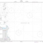
 NGA Chart 81249 – Nukuoro
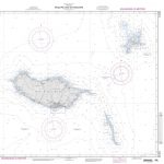
 NGA Chart 81488 – Kosrae
 NGA Chart 93022 – Mui Ke Ga to Mui Ba Lang
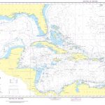 NGA Chart 400 – West Indies
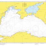 NGA Chart 55001 – Black Sea
 NGA Chart 91175 – N.E. Luzon
 NGA Chart 51261 – Arquipelago da Madeira
 NGA Chart 92020 – Sulu Sea