Disclosure : This site contains affiliate links to products. We may receive a commission for purchases made through these links.
Newfoundland & Labrador ITMB
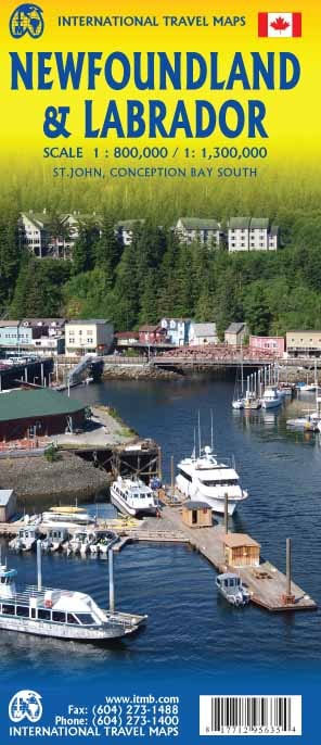
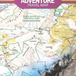
Double-sided map of Newfoundland and Labrador Provinces at 1:800,000 and 1:1,385,000 respectively and with street plans of St. John’s and Conception Bay South, published as part of a series of maps of Canadian provinces from the Vancouver-based ITMB.Topography is presented by altitude colouring, with colour bands and spot heights given in feet. Road and rail networks are shown on a clear base with numerous national or regional parks and wildlife reserves prominently marked. Symbols highlight various places of interest, sport and recreational facilities, etc. National, provincial and time zone boundaries are displayed. The map has a latitude and longitude grid at intervals of 1ยบ and an index of localities. Historical information is given on the outer edges of the map, with a small box showing the timeline of the provinces, dating back to the 11th century.Also included are plans of Conception bay South and St. John’s, indicating one-way streets, points of interest, and various facilities.To see the other titles in this series please click on the series link.

Related Products:
 Newfoundland & Labrador FastTrack
 Atlantic Canada – the Maritimes – Newfoundland & Labrador ITMB
 Saskatchewan ITMB
 Manitoba ITMB
 Moon Newfoundland & Labrador
 Myanmar / Burma ITMB
 British Columbia South ITMB
Nova Scotia & Prince Edward Island ITMB
British Columbia South ITMB
Nova Scotia & Prince Edward Island ITMB
 Bangladesh & India East ITMB
 Kilimanjaro & Tanzania North ITMB
 Thailand ITMB
 Peru ITMB
 Colombia ITMB
 South America ITMB Travel Atlas
 Virgin Islands (US and British) ITMB
 South Africa – Lesotho – Swaziland ITMB
 Antigua & Dominica ITMB
 Tanzania ITMB
 Ghana ITMB
 Mauritius & Reunion ITMB
 Oman & Yemen ITMB
 South America North ITMB
 Quebec & Ontario ITMB Travel Atlas
 Chile South & Patagonia ITMB
 Namibia ITMB
 Alberta ITMB
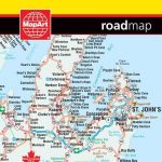 Newfoundland and Labrador MapArt
 Whistler and Sea-to-Sky Highway ITMB
 Atlantic Canada – New Brunswick – Nova Scotia – Prince Edward Island – Newfoundland
 Bolivia ITMB
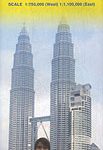 Malaysia ITMB
 Mexico Border States: Coahuila, Nuevo Leon, Tamaulipas ITMB
 Buenos Aires & Argentina North East ITMB
 Albania ITMB
 Accra & Ghana South ITMB
 Saudi Arabia & Kuwait ITMB
 Vietnam ITMB
 Guatemala ITMB
 Sumatra ITMB