Disclosure : This site contains affiliate links to products. We may receive a commission for purchases made through these links.
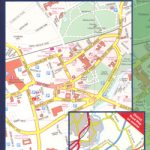
New York City High 5 Edition Street Plan
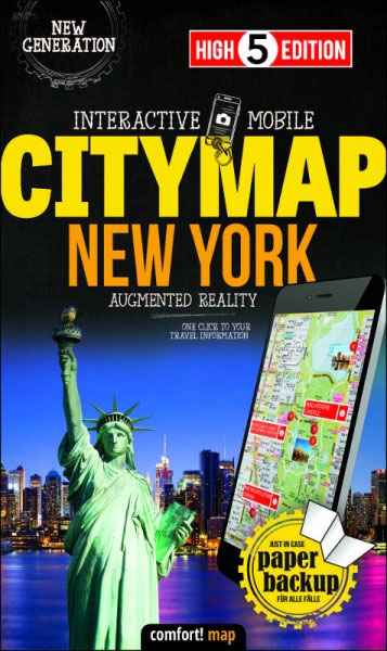
The first water-resistant ‘Comfort Map’ with direct access to useful additional information from the InternetThe world-famous Manhattan district in a scale of 1:16,000 and an overview of New York City in a scale of 1:75,000 presented on a practical map; inclusive of the High 5 Edition app technology for calling up additional travel information and many other benefits:- just the right size – 9.6 x 16.1 cm – to fit comfortably into your handbag or trouser pocket- it is water-resistant (laminated/cellophane coating)- can be conveniently folded in any direction thanks to the patented ‘Comfort Map” folding designIt doesn’t matter what weather it is used in or how often it is folded, the condition of the ‘CITYMAP New York” will not deteriorate. Parks, streets and railway lines are easily recognisable thanks to the clear layout of the map. A separate map of the underground and railway network rounds off the map.The ‘Interactive Mobile CITYMAP New York” ‘“ a ‘paper backup” just in case…… and when used in conjunction with a smartphone, it is a great tool for planning trips.What’s not on the map is in the appBy scanning the section of the map you want with the High 5 Edition app, you can get a lot of useful additional information about major attractions in New York. The app is based on Augmented Reality technology and is available free of charge from the Apple App store and Google Play store.

Related Products:
 Rome High 5 Edition Street Plan
 Vienna High 5 Edition Street Plan
 Berlin High 5 Edition Street Plan
 Paris High 5 Edition Street Plan
 Barcelona High 5 Edition Street Plan
 Amsterdam High 5 Edition Street Plan
 London High 5 Edition Street Plan
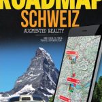 Switzerland High 5 Edition Road Map
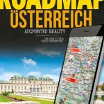 Austria High 5 Edition Road Map
 Croatia High 5 Edition Road Map
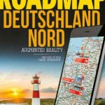 Germany North High 5 Edition Road Map
 Germany North High 5 Edition Camping Map
 Germany High 5 Edition Road Map
 Germany South High 5 Edition Road Map
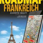 France High 5 Edition Road Map
 France High 5 Edition Camping Map
 Germany South High 5 Edition Camping Map
 Italy High 5 Edition Road Map
 Italy High 5 Edition Camping Map
 Europe High 5 Edition Road Atlas
 Europe High 5 Edition Camping Atlas
High Line: The Inside Story of New York City`s Park in the Sky
Europe High 5 Edition Camping Atlas
High Line: The Inside Story of New York City`s Park in the Sky
 Munich High 5 Edition Street Plan
 New York City – Manhattan Michelin City Plan and Index
 Hamburg High 5 Edition Street Plan
 Frankfurt High 5 Edition Street Plan
New York City Global Graphics detailed Street Map
Frankfurt High 5 Edition Street Plan
New York City Global Graphics detailed Street Map
 52 Adventures In New York City
 DK Eyewitness Top 10 New York City
 New York City
 Lisburn City OSNI Street Plan
 Armagh City OSNI Street Plan
 Lonely Planet City Trails – New York
 New York Marco Polo City Map
 New York City Michelin Green Guide
 Riga City Center Jana Seta Street Plan
 New York City Borch
 The Rough Guide to New York City
 Magnetic City: A Walker`s Companion to New York City
 Pretty City New York: Discovering New York`s Beautiful Places