Disclosure : This site contains affiliate links to products. We may receive a commission for purchases made through these links.
New England – Hudson Valley Michelin Regional 581
New England and the Hudson Valley states at 1:500,000 (1″ to 8 miles) on a indexed road map from Michelin with coverage extending from New York to the northern part of Maine and Vermont and westwards to Syracuse in the New York State and Lake Ontario. Road network indicates toll roads and clearly shows road numbers of interstate and state highways, plus of local roads. Scenic routes are highlighted. Driving distances, in miles, are marked on main and on selected state roads. Passenger railway lines are shown with Amtrack stations; the map also shows car and passenger ferry lines. Topography is indicated by relief shading, with prominent colouring for national/state parks and forests, Indian lands and restricted entry military zones. The map highlights various places of interest, including campsites. No geographical coordinates are provided. Extensive state-by-state index is on the reverse.To see all the titles in this series please click on the series link.

Related Products:
 Midatlantic – Allegheny Highlands Michelin Regional 582
 Southeastern USA Michelin Regional 584
 USA: Michelin Regional Road Maps
 Northeastern USA – Eastern Canada Michelin Regional 583
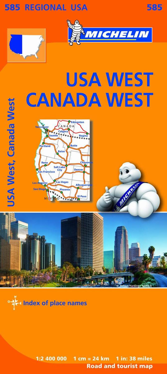
 Western USA – South Western Canada Michelin Regional 585
 Northern England – Midlands Michelin Regional 502
 Wales – South West England – Midlands Michelin Regional 503
 Loire Valley Michelin Regional 517
 South East England – Midlands – East Anglia Michelin Regional 504
 USA Michelin
 Texas – Oklahoma Michelin Zoom 176
 Scotland Michelin Regional 501
 Scotland Michelin Regional 501 WATERPROOF
 Southern England A-Z Regional Road Atlas
 USA: Michelin Zoom Maps
 Great Lakes Michelin Zoom 173
 Pacific Northwest – Washington – Oregon Michelin Zoom 171
Deep South – Mississippi to Florida Michelin Zoom 177
Pacific Northwest – Washington – Oregon Michelin Zoom 171
Deep South – Mississippi to Florida Michelin Zoom 177
 Southern Rockies – Arizona – Colorado – New Mexico – Utah Michelin Zoom 175
 Brittany Michelin Regional 512
 Burgundy Michelin Regional 519
 Paris & Surrounding Areas Michelin Regional 514
 Italy North East Michelin Regional 562
 Poitou-Charentes Michelin Regional 521
 Champagne-Ardenne Michelin Regional 515
 Auvergne – Limousin Michelin Regional 522
 Franche-Comte Michelin Regional 520
 Alsace – Lorraine Michelin Regional 516
 Languedoc-Roussillon Michelin Regional 526
 Aquitaine Michelin Regional 524
 Rhรดne-Alpes Michelin Regional 523
 Central France Michelin Regional 518
 Nord-Pas-de-Calais – Picardy Michelin Regional 511
 Belgium South Michelin Regional 534
 Midi-Pyrรฉnรฉes Michelin Regional 525
 Netherlands North Michelin Regional 531
 Netherlands South Michelin Regional 532
 Italy Central Michelin Regional 563
 Normandy Michelin Regional 513
 Provence-Alps – French Riviera Michelin Regional 527