Disclosure : This site contains affiliate links to products. We may receive a commission for purchases made through these links.
Nevado Ojos del Salado Alpenverein 0/13

Detailed topographic survey map of Nevado Ojos del Salado, showing both the Chilean and the Argentinian side of the mountain. The map was compiled from satellite imagery and various Argentinian and Chilean sources by the Austrian Alpine Club and updated in 2004. Contours at 50m intervals, spot heights and hill shading are used to show the relief. Major peaks, valleys, glaciers, etc. are all named. The map has a great deal of terrain detail e.g. cliffs, morain, scree, etc.Roads and tracks leading to the main approaches to the mountain and other nearby peaks are shown only on the Chilean side. Main trekking and climbing routes are marked on both sides of the border. An inset shows the peak of Nevado Ojos de Salado at 1:35,000 with contours at 25mLatitude and longitude margin ticks are at 5` intervals and a UTM grid is drawn on the map. Map legend includes English.

Related Products:
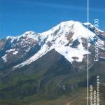 Nevado Chimborazo
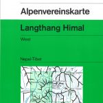 Langthang Himal West Alpenverein 0/10
 Langthang Himal East Alpenverein 0/11
 Cordillera Real South – Illimani Alpenverein 0/9
 Kailas – Manasarovar
 Cho Oyu
 Achibueno – Rio Achibueno – Nevado Longavi – Baรฑos Termales La Gloria
 Mera Peak
 Villarubia de los Ojos CNIG Topo 737
 Kanchenjunga
 North Annapurna Base Camp
 Lukla to Gokyo – Cho-La – Renjo-La – Nagpa-La
 Argentina South & Tierra del Fuego ITMB
 Dunai to Jumla and Rara Lake
 Isarwinkel – Benediktenwand Alpenverein BY11
 Mustang to Annapurna
 Helambu Trail
Wettersteingebirge – Zugspitze Alpenverein KOMBI BY8
Helambu Trail
Wettersteingebirge – Zugspitze Alpenverein KOMBI BY8
 Berchtesgaden – Untersberg Alpenverein KOMBI BY22
 Lattengebirge – Reiteralm Alpenverein KOMBI BY20
Karwendelgebirge North – Schafreiter Alpenverein BY12
Naar – Phu
Lattengebirge – Reiteralm Alpenverein KOMBI BY20
Karwendelgebirge North – Schafreiter Alpenverein BY12
Naar – Phu
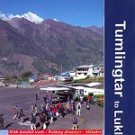 Tumlingtar to Lukla
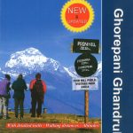 Ghorepani – Ghandruk
 Kleinwalsertal – Hoher Ifen – Widderstein Alpenverein Map BY2
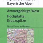 Ammergebirge West – Hochplatte – Kreuzspitze Alpenverein BY6
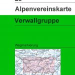 Verwallgruppe Alpenverein Map 28
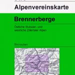
 Brennerberge Alpenverein Map 31/3
 Tennengebirge Alpenverein Map 13
 Annapurna Base Camp
 Lukla to Tengboche
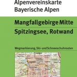 Mangfallgebirge Central – Spitzingsee – Rotwand Alpenverein BY15
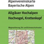 Allgรคuer Hochalpen – Hochvogel – Krottenkopf Alpenverein BY4
 Patagonian South Icefield – Monte Fitz Roy
 Brennerberge Alpenverein 31/3SKI
 Mangfallgebirge West – Tegernsee – Hirschberg Alpenverein BY13
 Glocknergruppe Alpenverein KOMBI Map 40
 Silvretta Alpenverein KOMBI Map 26
 Dachsteingruppe Alpenverein KOMBI Map 14
 Venedigergruppe Alpenverein KOMBI Map 36