Disclosure : This site contains affiliate links to products. We may receive a commission for purchases made through these links.
Netherlands & Belgium ITMB
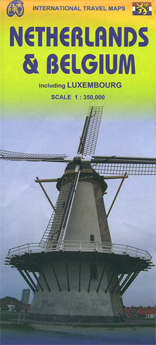
Netherlands with Belgium and Luxembourg at 1:350,000 on an indexed, double- sided map from ITMB. Belgium and Luxembourg are on one side; Netherlands is divided along the Vlissigen (Flushing) / Eindhoven line with a small overlap between the sides.The map shows the three countries’ road and rail networks, with driving distances marked on main and on selected connecting roads. Symbols highlight various facilities and places of interest, including selected campsites and other tourist accommodation. The map has latitude and longitude lines at intervals of 20’. Each side has a separate index.


