Disclosure : This site contains affiliate links to products. We may receive a commission for purchases made through these links.
Netherlands: 25K Topographic maps
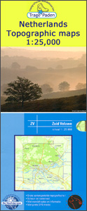
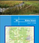
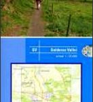
Trage Paden recreational maps providing extensive coverage of the Netherlands, with hiking and cycling routes on a topographic base, various types of terrain, recreational facilities, places of interest, etc. The individual maps are printed on waterproof and tear-resistant paper.Contours used in this map series vary between 2,5 to 5m according to the terrain, with 5m interval predominantly used for hilly areas. Varied colouring show different types of landscape: woods, vineyards, fields etc. An overprint highlights both the national long-distance walking routes and the shorter local circular trails, each clearly identified by a code and/or an abbreviation of its name. Recommended starting points for walks are designated by a symbol. Cycle lanes are visibly marked with a bike symbol; roads with heavy traffic are clearly indicated. Symbols indicate various facilities, such as railway and bus stations, coffee shops, campsites, country restaurants/bars, sport and leisure facilities. Maps have the lines of the Dutch National Grid for measuring distances and for determining location using GPS device and they are printed on weather resistant and tear-resistant paper. The legend is in Dutch only.


