Disclosure : This site contains affiliate links to products. We may receive a commission for purchases made through these links.
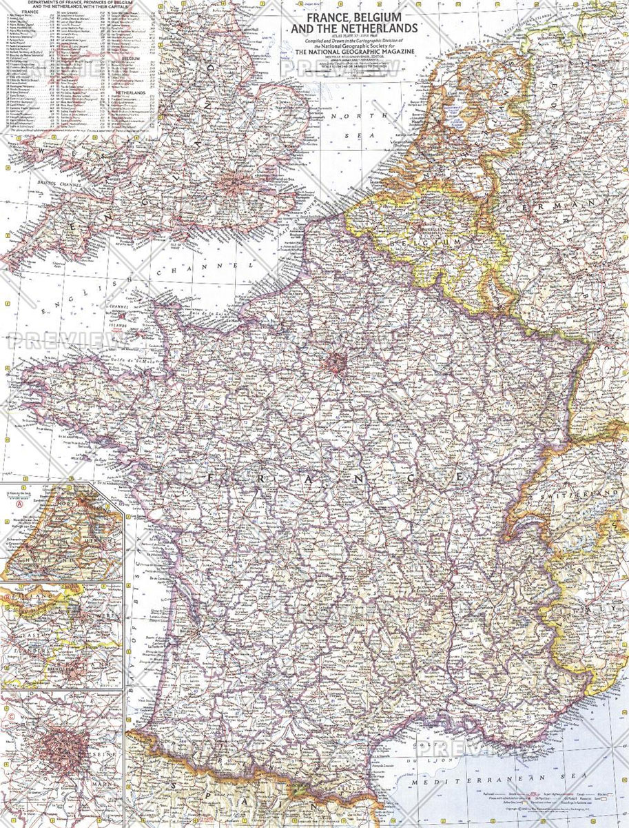
National Geographic France Belgium and the Netherlands – Published 1960
Related Products:
 National Geographic Hawaii – Published 1960
 France, Belgium & the Netherlands AA Road Map
 France, Belgium, Luxembourg and the Netherlands AA Glovebox Atlas
 France, Belgium & the Netherlands Philip`s Road Atlas
 National Geographic Germany – Published 1959
 National Geographic Greece and the Aegean – Published 1958
 National Geographic Reaches of New York City – Published 1939
 France, Belgium and Netherlands NGS Classic Wall Map PAPER
 France, Belgium and Netherlands NGS Classic Wall Map LAMINATED
 France, Belgium and Netherlands NGS Executive Wall Map PAPER
 France, Belgium and Netherlands NGS Executive Wall Map ENCAPSULATED
 National Geographic Europe – Published 1962
 National Geographic Europe – Published 1977
 National Geographic Manhattan – Published 1990
 National Geographic The Alps – Published 1985
 National Geographic Arctic Regions – Published 1925 508 x 475 mm
 National Geographic World – Published 1935 1107 x 579 mm
 National Geographic India and Burma – Published 1946
 National Geographic Mount Everest – Published 1988 575 x 909 mm
 National Geographic Europe and the Mediterranean – Published 1938
 National Geographic Europe and the Near East – Published 1940
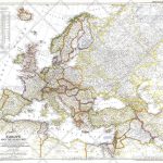 National Geographic Europe and the Near East – Published 1949
 National Geographic Heavens – Published 1957 1068 x 711 mm
 National Geographic Islands of the Pacific – Published 1974 940 x 573 mm
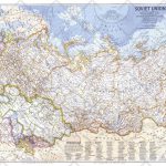 National Geographic Soviet Union – Published 1976 939 x 579 mm
 National Geographic South America – Published 1921
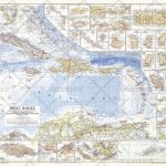 National Geographic West Indies – Published 1954 949 x 735 mm
 National Geographic Atlantic Ocean Floor – Published 1968 481 x 632 mm
 National Geographic World Executive Spanish – Published 2005 988 x 646 mm
 National Geographic Central Europe and the Mediterranean – Published 1939
 National Geographic North Pole Regions – Published 1907
 National Geographic Europe Map with Africa and Asia – Published 1915 796 x 719 mm
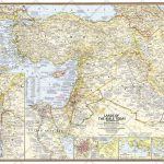 National Geographic Lands of the Bible 1967 Map – Published 2012 983 x 689 mm
 National Geographic Teammates in Mankinds Greatest Adventure – Published 1973 862 x 569 mm
 National Geographic New Balkan States and Central Europe – Published 1914 455 x 578 mm
 National Geographic Caspian Region Promise and Peril – Published 1999
 National Geographic Africa Map with portions of Europe and Asia – Published 1922 721 x 798 mm
 The Belgium and Netherlands Coffee Guide 2012
 Netherlands & Belgium ITMB
 National Geographic Guide National Parks Of Canada


