Disclosure : This site contains affiliate links to products. We may receive a commission for purchases made through these links.
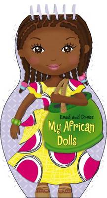
My African Dolls – Read & Dress

Related Products:
 My Japanese Dolls – Read & Dress
 My Indian Dolls – Read & Dress
 Mother and Daughter Dress-Up Dolls: Costumes From Around the World
 African Twilight: The Vanishing Rituals and Ceremonies of the African Continent
 African Violet Caine Prize For African Writing 2012
 Paper Dolls, The
 Guys & Dolls & Other Stories
 Press-Out Paper Dolls
 Dress Your Family in Corduroy and Denim
 LEGO Minifigure Dress-Up! Ultimate Sticker Collection
 Little Miss Princess Who Shall I Be Today? – Dress Up Sticker Book
 The Dolls
 The Pilot Who Wore a Dress: And Other Dastardly Lateral Thinking Mysteries
 How to Be Italian: Eat, drink, dress, travel and love La Dolce Vita
 Cut Out Paper Dolls
 Valley Of The Dolls
 The Boy in the Dress: Limited Gift Edition of David Walliams` Bestselling Children`s Book
 Frida Kahlo Paper Dolls
 Sticker Dolly Dressing Dolls
 Dolls House Museum Sticker Book
 Red Mandarin Dress
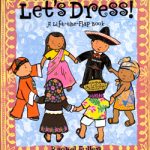 Lets Dress!
 Scottish National Dress and Tartan
 The Underwater Fancy-Dress Parade
 Sticker Dolly Dressing Fancy Dress
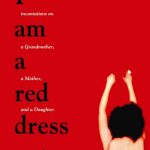 I Am A Red Dress: Incantation on a Grandmother, a Mother, and a Daughter
 Full Set of Signal Flags on Dress Line – 15″ x 12″
 Full Set of Signal Flags on Dress Line – 8″ x 6″
 Dress Scandinavian: Style your Life and Wardrobe the Danish Way
 Dress-Up Jane Austen: Discover History Through Fashion
 Dress-Up Russian Revolution: Discover History Through Fashion
 Peppa Pig: Peppa Dress-Up Sticker Book
 The Accidental African
A Young African Elephant
The Accidental African
A Young African Elephant
 Michel the Giant: An African in Greenland
Walk it off: A South African on the Camino
Michel the Giant: An African in Greenland
Walk it off: A South African on the Camino
 The Classic South African Cookbook
 Endangered African Mammals Magnetic Bookmarks
 New Encyclopedia of British European and African Birds
 Animal Allstars: African Animals Facts and Folklore