Disclosure : This site contains affiliate links to products. We may receive a commission for purchases made through these links.
Mumbai / Bombay – India West Coast ITMB
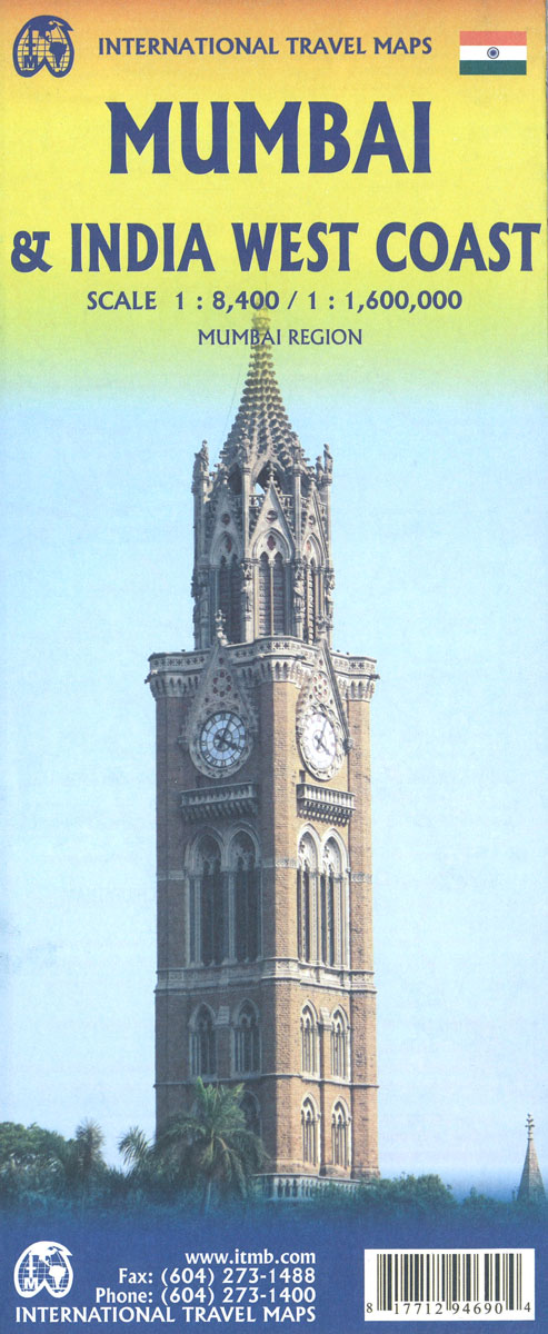
Central Bombay on a clear, well presented, indexed street plan from ITMB, with its index listing 120 old colonial street names, many of them also shown on the map itself next to the currently used names. A more general, small enlargement covers a wider area showing access to the city’s international airport.The plan extends from the World Trade Centre complex in the south to the Bollywood studios, the Nehru Science Centre and the Mahalaxmi Race Course. Main traffic arteries are highlighted and one way streets are indicated. The map shows the city’s commuter and long-distance railway stations and indicates the course of the proposed new metro line. Symbols mark various institutions and facilities, including many hotels, places of worship, consulates, shopping centres, etc. Street index is next to the map. Also included is an inset covering a wider area, extending beyond the city’s airport and Juhu Beach to the Sanjay Gandhi National Park. Railway lines are shown with names of stations.


