Disclosure : This site contains affiliate links to products. We may receive a commission for purchases made through these links.
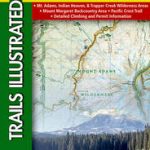
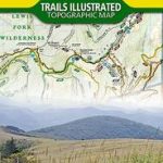
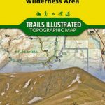
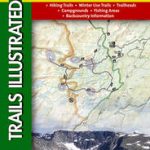
Mount Shasta Wilderness

High quality relief shaded topographic trekking map. Trails are clearly marked with distances between junctions shown in miles. Clear contours at 80ft intervals, vegetation information and symbols to show the location of various features and facilities of use to hikers, such as ranger stations and campsites. To ensure durability the map is printed upon special waterproof plastic paper. Includes Latitude and Longitude and UTM grid markings

Related Products:
 San Jacinto Wilderness
San Gorgonio Wilderness
Angeles High Country
Angeles Front Country
Mojave National Preserve
San Jacinto Wilderness
San Gorgonio Wilderness
Angeles High Country
Angeles Front Country
Mojave National Preserve
 Yosemite National Park
Lake Tahoe Recreation
Cuyamaca Rancho State Park
Point Reyes National Seashore
Death Valley National Park
Santa Monica Mountains East
Yosemite National Park
Lake Tahoe Recreation
Cuyamaca Rancho State Park
Point Reyes National Seashore
Death Valley National Park
Santa Monica Mountains East
 Yosemite High Country
 Yosemite Valley
 Mount Hood Wilderness OR NGS Trails Illustrated Map 321
 Whiskeytown – Shasta – Trinity National Recreational Area CA
 Sawtooth Wilderness, ID
 Mount St Helens – Mount Adams – Gifford-Pinchot National Forest WA
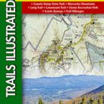
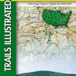
 Mount Rogers High Country VA
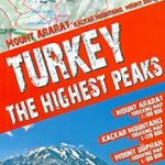 Turkey`s Highest Peaks – Mount Ararat – Kackar Mountains – Mount Suphan terraQuest Trekking Map
 Absaroka Beartooth Wilderness Outdoor Recreation Map
 Collegiate Peaks Wilderness CO
 Cloud Peak Wilderness WY
 Weminuche Wilderness CO NGS Trails Illustrated Map 140
 Yosemite SE – Ansel Adams Wilderness CA
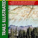
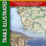 Big Sur – Ventana Wilderness – Los Padres National Forest CA
 Mt Jefferson – Mt Washington Wilderness OR NGS Trails Illustrated Map 819
 Mount Whitney CA
 Yosemite NE – Tuolumne Meadows & Hoover Wilderness CA
 Mount Mansfield – Stowe VT
 Mount Rainier National Park WA
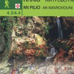 Mount Pelion – Mount Mavrovouni Anavasi 4.3/4.4
 Eagles Nest and Holy Cross Wilderness Areas CO
 Carson-Iceberg – Emigrant and Mokleumne Wilderness Areas CA
 Mount Tamalpais and Point Reyes CA
 Issaquah Alps – Mount Si WA
 Superstition & Four Peaks Wilderness Areas – Tonto National Forest AZ
 Mount Rogers National Recreation Area VA
 Mount Hood and Willamette National Forests OR
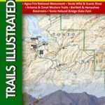 Mazatzal & Pine Mountain Wilderness Areas – Tonto National Forest AZ
 Superstition Wilderness Outdoor Recreation Map