Disclosure : This site contains affiliate links to products. We may receive a commission for purchases made through these links.
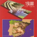
Mount Etna – Alcantara – Simeto WATERPROOF
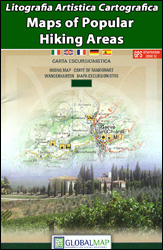
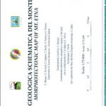
Mt Etna and its environs at 1:50,000 on a double-sided map from LAC in their Global Map imprint, with plenty of information for all types of recreational activities: hiking, climbing, biking, caving, canoeing, paragliding, diving, etc.The map is double-sided, with a very generous overlap between the sides, and covers an area from Moio Alcantara north of Mt Etna (so including Taormina and Giardini-Naxos) to beyond Catania, with an inset extending the coverage along the coast to include the Riserva Naturale Oasi del Simeto. Topography is presented by contours with relief shading. Bold colouring shows lava fields, indicating dates of eruptions, and many smaller individual peaks and craters are named. Boundaries of Parco dell’Etna and other protected areas are marked.Road network indicates routes closed to motorized traffic and local railway lines are shown with stations. The map is annotated with extensive information for various recreational pursuits: ‘
: hiking trails graded into easy, moderate and difficult, with brief descriptions of 12 selected routes’
: alpine itineraries, also graded according to the degree of difficulty’
: climbing sites’
: lava caves graded into easy and difficult to access’
: 23 mountain bike trails, listed in a table showing their length, ascent, etc.’
: 17 diving sites with brief descriptions’
: 4 paragliding sites, also with brief descriptions’
: Kayaking and rafting routes, graded according to difficulty and indicating obstructions, dangerous points, etc.’
: alpine and cross country ski routes’
: also marked are mountain refuges, beaches, bird watching sites, notable trees, etc.The map has a 1-km UTM grid. Map legend and all the text are in Italian and English.


