Disclosure : This site contains affiliate links to products. We may receive a commission for purchases made through these links.
Morocco: Atlas Mountains Topographic Maps
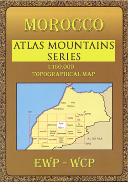
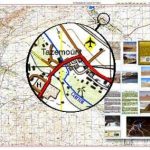
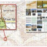
Moroccoโ€s Atlas Mountains with its neighbouring deserts and coastal areas on GPS compatible maps at 1:160,000 published by EWP and West Col Productions with cartography based on the Russian military survey and additional tourist information on the reverse.The maps use the cartography of the Russian military survey of the area, providing a very detailed representation of the terrain, with contours at 40m intervals plus graphics and/or colouring to show features such as cliffs, ravines, sand ridges and dunes, various types of vegetation, etc. All place names are given in the Latin alphabet.Road information includes unsurfaced roads and tracks. Where main roads meet the edge of the map, the distance to the next large town is stated. Selected high passes are annotated to show months when passable. Railways and local airports are marked and a range of symbols indicate various landmarks and places of interest, including mountain refuges and forestry buildings, oasis, caves, etc. Interesting locations are highlighted.Each sheet covers 40โ€ of latitude and 1ยฐ of longitude and has a grid based on the Kronstadt system which, according to the publishersโ€ notes, is related closely to the UTM system and is suitable for a GPS set to UTM or MGRS. The maps also have either additional margin ticks or a grid for latitude and longitude.On the reverse are illustrated notes about the area, plus a glossary of Berber terms and notes on transliteration of local names.Map legend and all the texts are in English and French.


