Disclosure : This site contains affiliate links to products. We may receive a commission for purchases made through these links.
Monemvasia – Maleas – Elafonisos Anavasi 8.9
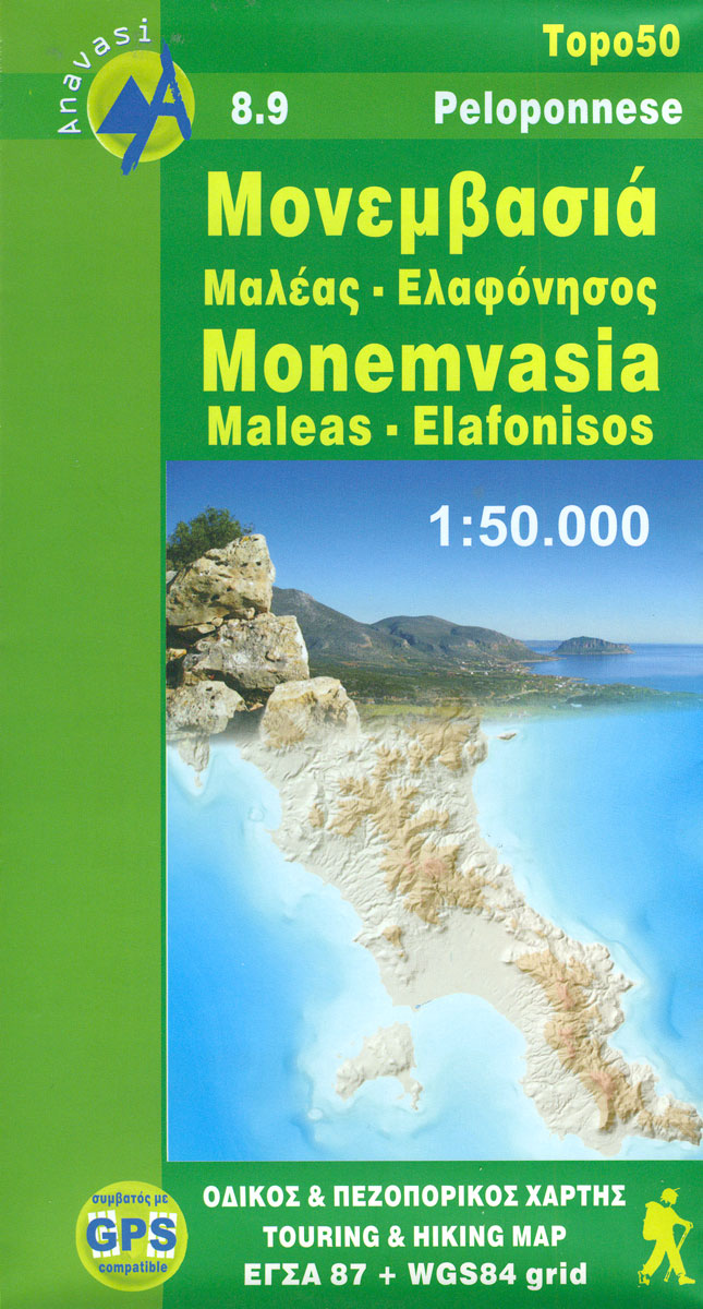
Monemvasia – Maleas – Elafonisos area, the eastern finger of the Peloponnese and the Elsfonisos Island, at 1:50,000 in a series of waterproof and tear-resistant hiking maps from Anavasi with a UTM grid for GPS users. On one side is a topographic map of the area with contours at 20m intervals and a 1-km UTM grid. On the reverse a simplified version of the main map highlights 19 recommended hiking routes in the Monemvasia area, plus 14 more trails the southern part of the Maleas Peninsula.Maps in the Anavasi hiking series covering mainland Greece are contoured; interval varies depending on the scale, on most maps it is 20m. Relief shading, spot heights, springs, seasonal streams and, in most titles, landscape/land-use variations, e.g. forests, orchards, or vineyards provide additional information on the terrain. Place names are given in both Greek and Latin script.Local footpaths, hostels and mountain huts are clearly marked. For road users intermediate driving distances and petrol stations are shown. Symbols highlight places of interest, including archaeological sites, churches and monasteries, etc. The maps have a UTM grid and margin ticks for latitude and longitude. Map legend includes English.

Related Products:
 Greece: Anavasi Hiking Maps of the Mainland and Peloponnese
 Kitheron – Pateras – Gerania Anavasi 1.4/1.5
Mt Elikon Anavasi 2.6
Kitheron – Pateras – Gerania Anavasi 1.4/1.5
Mt Elikon Anavasi 2.6
 Mt Parnon Anavasi 8.7
 Mt Smolikas – Mt Trapezitsa Anavasi 3.31
Mt Kalidhromo Anavasi 2.2
Mt Smolikas – Mt Trapezitsa Anavasi 3.31
Mt Kalidhromo Anavasi 2.2
 Mt Olympus Anavasi 6.11
 South Pindos – Tzoumerka ‘“ Peristeri ‘“ Koziakas ‘“ Aygo Anavasi 3.2/4.2
 Mt Parnassos Anavasi 2.1
 Valia Kalda – Vasilitsa Anavasi 6.4
Mt Dhirfis – Mt Xerovouni Anavasi 5.11
Mt Erymanthos Anavasi 8.61
Mt Parnitha Anavasi 1.1
Valia Kalda – Vasilitsa Anavasi 6.4
Mt Dhirfis – Mt Xerovouni Anavasi 5.11
Mt Erymanthos Anavasi 8.61
Mt Parnitha Anavasi 1.1
 Frangokastelo – Plakias Anavasi 11.17
 White Mountains / Lefka Ori – Sfakia – Pahnes Anavasi 11.11/11.12
 Sikinos Anavasi 10.29
 Monemvasia Orama Editions 406
 Greece: Anavasi Maps of Greek Islands
 Psiloritis – Mt Ida Anavasi 11.14
 Kea / Tzia Anavasi 10.41
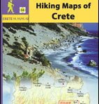 Greece: Anavasi Hiking Maps of Crete
 Olympus Geopsis 139
 Northern Agrafa – Plastira Lake Anavasi 4.1
 Lasithi – Eastern Crete Anavasi 92
 Chalki Anavasi 10.33
 Skyros Anavasi 10.14
 Mainalo – Artemisio – Lyrkeio – Farmakas – Ktenias Anavasi 8.5
 Fokidha Anavasi 07
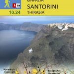 Santorini – Thirasia Anavasi 10.24
 Paxos – Antipaxos Anavasi 9.2
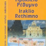 Iraklion – Rethymnon – Central Crete Anavasi 93
 Hydra Anavasi 10.40
 Greece: Anavasi 100K Touring Maps of Crete
 Mt Kyllinin / Ziria Anavasi 8.31
 Chania – Gavdos Anavasi 94
 Prespa – Vitsi – Voras Anavasi 6.2
 Tinos Anavasi 10.20
 Karpathos – Saria Anavasi 10.50