Disclosure : This site contains affiliate links to products. We may receive a commission for purchases made through these links.
Milton Keynes Official City Atlas 2017
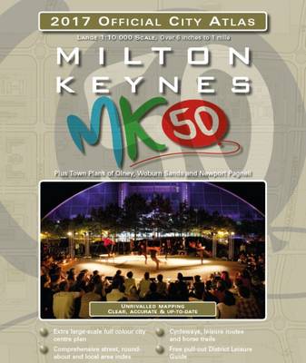
Street atlas of Milton Keynes at 1:10,000, with a very detailed enlargement of the central area, plus additional town centre plans of Olney, Newport Pagnell and Woburn Sands. The atlas is accompanied by a leisure guide to Milton Keynes and district with mapping at 1:100,000 plus lists with descriptions and contact details of cultural institutions, historic buildings and industrial heritage, gardens and nature reserves, leisure parks and outdoor activities, etc.The atlas shows Milton Keynes within its official boundary colour-coded according to the use: residential, main employment, educational, local/district/city centres, health, cultural/leisure/sporting, remaining development opportunities, etc. Roundabouts are annotated with their names and the atlas shows one way streets, car parks and taxi ranks, petrol stations, post offices and post boxes, etc. Footpaths, cycle routes and tracks, including the Millennium Circular Route, and horse riding trails are marked. The index includes lists of roundabouts and local area names. Similar mapping covers Olney, Newport Pagnell and Woburn Sands. Central Milton Keynes is also shown at 1:4,550 approx., with names of individual shops and businesses. Additional road maps present the Unitary Area, Milton Keynes and the surrounding district, plus South-East England.


