Disclosure : This site contains affiliate links to products. We may receive a commission for purchases made through these links.
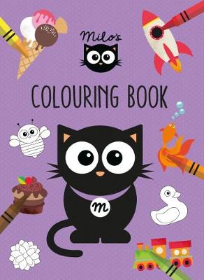
Milo`s Colouring Book

Related Products:
 Milo`s First Adventure Puppet Book
 Milo`s Little Book of Weather
 Milo`s 123 Activity Book
 100 Colouring Book
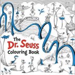 Dr. Seuss Colouring Book
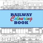 Railway Colouring Book
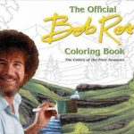 Bob Ross Colouring Book
 BUTTERFLIES COLOURING BOOK
 First Colouring Book Garden
 The Moomin Colouring Book
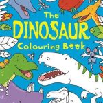 Dinosaur Colouring Book
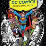 DC Comics Colouring Book
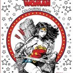 Wonder Woman Colouring Book
 Evolution Colouring and Activity Book
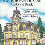 The Victorian House Colouring Book
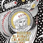 Russian Alphabet Colouring Book
 Drawing Doodling & Colouring Book
 Pocket Doodling and Colouring Book
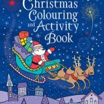 Christmas Colouring and Activity Book
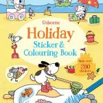 Holiday Sticker Colouring Book
 Dinosaur Colouring and Sticker Book
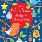 Christmas Sticker and Colouring Book
 Nordic Wilderness: A Colouring Book
 Fairy Tales Colouring Book
 The Country House Colouring Book
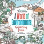 A World Of Environments: Colouring Book
 Peppa Pig: Mummy and Me Sticker Colouring Book
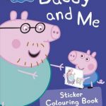 Peppa Pig: Daddy and Me Sticker Colouring Book
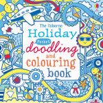 Holiday Pocket Doodling And Colouring Book
 Horses & Ponies Sticker and Colouring Book
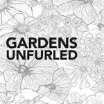 Gardens Unfurled: A Concertina Colouring Book
 Architecture Unfurled: A Concertina Colouring Book
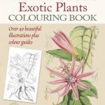 The Kew Gardens Exotic Plants Colouring Book
 Into the Wild: An Exotic Animal Colouring Book
 Art Deco – Giant Atrists` Colouring Book
 Roald Dahl: A Marvellous Colouring Book Adventure
 The Country Diary of an Edwardian Lady Colouring Book
 Jonny Duddle`s Pirates Colouring & Activity Book
 Harry Potter Magical Creatures Colouring Book
 The National Trust: Colouring Book of Cards and Envelopes: Nature