Disclosure : This site contains affiliate links to products. We may receive a commission for purchases made through these links.
Michelin City Maps
City maps from Michelin produced in two different formats: for most cities larger size street plans designed to be used for access to and travel across by car, plus for popular destinations also handy size, laminated โ€write & wipeโ€ street maps covering a smaller area but providing descriptions of best sights, travel tips, etc.CITY MAPS RANGE: Michelinโ€s main range of street plans of is primarily designed to be used for access to and travel across the city by car, given its wide coverage of the outer suburbs and detailed presentation of the surrounding motorway network. The maps are larger and for many cities double-sided. Street network is shown with the usual care associated with Michelinโ€s road maps: detailed layout of motorway junctions, dual carriageways, tunnels, etc. Main traffic arteries leading to the city centre are highlighted and one way streets are marked. Metro lines and stations are clearly shown, and several maps also include a diagram of the whole network. In many titles the accompanying street index is in a separate booklet attached to the map cover. Map legend includes English.PARIS: coverage is available in different formats and presentations, including a street atlas.โ€WRITE & WIPEโ€ RANGE: handy size laminated so waterproof and tear-resistant street maps, with the main plan of the central districts accompanied by enlargements of most visited areas and/or access maps of the suburbs. Places of interest are clearly marked and best sights are cross-referenced to descriptions based on the publishersโ€ Green Guides. The maps also provide practical information on getting around including a diagram of the metro network, opening hours, etc. All the text is in English only.For more information please see individual descriptions.

Related Products:
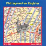 Amsterdam Michelin City Map
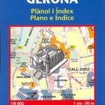 Girona/Gerona Michelin City Map
 Porto Michelin City Plan and Index
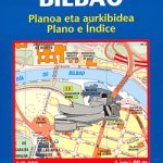 Bilbao Michelin City Map
 Malaga Michelin City Map
 Berlin Michelin City Map
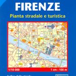 Florence Michelin City Map
 Michelin “Write & Wipe” Tourist Street Plans
 Seville Michelin City Map
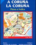 La Coruรฑa Michelin City Map
 Granada Michelin City Map
 Santander Michelin City Map
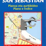 San Sebastian / Donostia Michelin City Map
 Valencia Michelin City Map
 France: Michelin 500K Road Maps
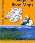 Switzerland: Michelin 200K Road Maps
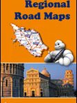 Italy: Michelin 400K Touring Maps
 Great Britain: Michelin 400K Road Maps
 Benelux: Michelin Regional Road Maps and Atlases
 Lisbon Michelin City Plan and Index
 Great Britain: Michelin Regional Tourist Maps
 France: Michelin Zoom Maps of Popular Holiday Areas
 Melbourne Suburbs & City Centre UBD Gregory`s 318
 Brussels Hike & Bike Map
 USA: Michelin Zoom Maps
 Sydney Suburbs & City Centre UBD Gregory`s 218
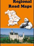 Germany: Michelin Regional Road Maps
 Greater Brussels Hike & Bike Map
 Halle Forest Hike & Bike Map
 Spain: Michelin Regional Road Maps
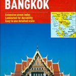 Bangkok Marco Polo City Map
 Portugal: Michelin Regional Road Maps
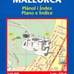 Palma de Mallorca Michelin City Map
 France: Michelin 150K Local Road Maps
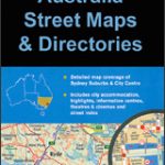
Australia: UBD Gregory`s Street Maps and Directories
France: Michelin 150K Local Road Maps
Australia: UBD Gregory`s Street Maps and Directories
 St. Petersburg Jana Seta Street Plan
France: IGN Maps of Environs of Main Cities
St. Petersburg Jana Seta Street Plan
France: IGN Maps of Environs of Main Cities
 Australia: Hema City to City Road Maps
 Spain: Michelin Zoom Espaรฑa Road Maps
 London Michelin City Map