Disclosure : This site contains affiliate links to products. We may receive a commission for purchases made through these links.
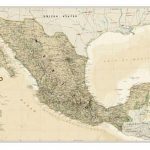
Mexico NGS Classic Wall Map PAPER
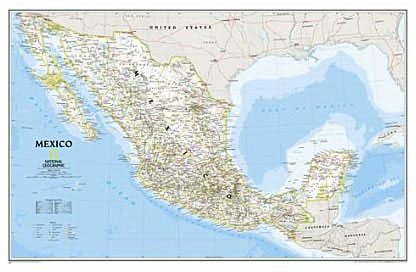
Mexico NGS Classic Style Wall Map from the National Geographic Society, paper version, presenting the country at 1:4,580,000 with internal administrative boundaries, surrounded by the blue colouring for the Pacific and the Gulf of Mexico.Internal administrative boundaries are easy to see on the light shading which provides the topographic background. Graphics show deserts, swamps, lava, etc, with names of mountain ranges, bays, and other geographical features. Heights are given in feet.47 national parks or other protected areas are highlighted and cross-referenced to a list included on the map. The map shows Mexico’s road and rail networks, also local airports and ferry routes. Latitude and longitude lines are drawn at intervals of 3ยฐ. Also provided is a glossary of abbreviations and geographical terms.* This title is also available encapsulated.


