Disclosure : This site contains affiliate links to products. We may receive a commission for purchases made through these links.
Mexico Nelles
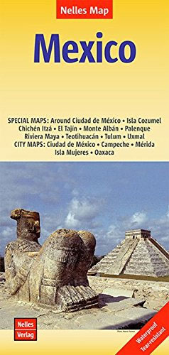
Mexico at 1:2,500,000 from Nelles on a double-sided map with a convenient size for use when travelling. The map includes the neighboring countries to provide coverage of the Maya region, plus several enlargements, street plans, and plans of archaeological sites.The country is divided north/south, with a generous overlap between the two sides. Coverage extends south to include Belize, Guatemala, San Salvador and the western part of Honduras with Tegucigalpa. Relief shading with names of mountain ranges and peaks presents the topography. The map shows the road network, including selected local roads and tracks, with distances on main routes. Railway lines and local airports are also marked. National parks or protected areas and numerous places of interest are prominently highlighted. Latitude and longitude are indicated by margin ticks at intervals of 1ยฐ. The map is not indexed. Map legend includes English.Several insets provide enlargements, street plans and site plans of the country’s most visited areas and archaeological remains:* Enlargements showing in greater detail: the environs of Mexico City including Toluca, Cuernavaca and Puebla, Riviera Maya from Cancรบn to Tulรบm, and the islands of Cozumel and Mujeres.* Street plans, annotated with places of interest, selected accommodation, etc, showing city centres of: Mexico City, Oaxaca, Mรฉrida and Campeche.*Plans of the archaeological sites at Teotihuacรกn, Monte Albรกn, El Tajรญn, Palenque, Uxmal, Chichรฉn Itzรก and Tulรบm,

Related Products:
 Mexico Michelin
 Mexico Road Map
 Yucatan Borch
 Mexico ITMB
 Central America Nelles
 Mexico: Ed. Independecia State Road Maps and Street Plans
 New Zealand Nelles
 Mexico Central & Mexico City ITMB
 Thailand Nelles
 South America – The Andes Nelles
 Mexico Border States: Coahuila, Nuevo Leon, Tamaulipas ITMB
 Hawaii – The Big Island Nelles
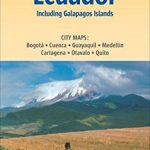 Colombia – Ecuador Nelles
 Mexico Road and Tourist Atlas
 Mexico NGS Adventure Map 3108
 Tunisia Nelles Map
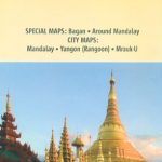 Myanmar / Burma Nelles
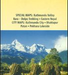 Nepal Nelles
Kenya – Serengeti Nelles
Nepal Nelles
Kenya – Serengeti Nelles
 Mexico: ITMB Regional Road Maps
 Sri Lanka Nelles
 Belize Borch
 Mexico Pacific & Guadalajara ITMB
 Mexico Reise Know-How
 Mexico Pacific Coast & Guadalajara ITMB
 Maya World
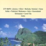 Hawaii – Maui – Molokai – Lanai Nelles
 Baja California South State – La Paz
 South Africa – Namibia – Botswana – Zimbabwe Nelles
 Hawaii – Oahu – Honolulu Nelles
 India North Nelles
 Peru – Ecuador Nelles
 Aguascalientes State – Aguascalientes City
 Guanajuato State – Guanajuato City
Durango State – Durango City
Guanajuato State – Guanajuato City
Durango State – Durango City
 Tlaxcala State – Tlaxcala City
Zacatecas State – Zacatecas City
Colima State – Colima City
Tlaxcala State – Tlaxcala City
Zacatecas State – Zacatecas City
Colima State – Colima City
 Campeche State – Campeche City
 Oaxaca State – Oaxaca City