Disclosure : This site contains affiliate links to products. We may receive a commission for purchases made through these links.
Mercantour & Alpi-Marittime Didier Richard 07
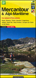
Mercantour National Park and the Maritime Alps on a large, double-sided, contoured and GPS compatible map from Editions Didier Richard highlighting local walking trails and long-distance hiking routes including the GR5. Coverage extends from well north of Col de Larch to Sospel, Levens and Roquestรฉron in the mountains north of the French Riviera.The base map with cartography from the IGN has contours at 50m intervals enhanced by shading, graphic relief and colouring for woodlands. An overprint prominently highlights local trails and long-distance GR routes, including sections of the GR5 Symbols indicate mountain refuges and other accommodation options, sport and recreational facilities, remarkable villages, cave and pre-historical sites, natural curiosities, etc. The map has a 1-km UTM grid. Map legend includes English. To see other titles in this series please click on the series link.

Related Products:
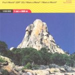
 Corsica North Didier Richard 08
 Vercors Didier Richard
 Corsica South Didier Richard 09
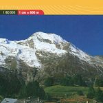
 Mont-Blanc – Annecy Didier Richard 02
 รcrins Massif National Park Didier Richard 05
 France: Didier Richard Hiking Maps of South Eastern France and Corsica
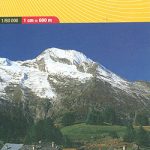
 Mont Blanc Pocket Map Edition Didier Richard
 Vanoise National Park – Beaufortain Didier Richard 04
Queyras – Ubaye Didier Richard
Vanoise National Park – Beaufortain Didier Richard 04
Queyras – Ubaye Didier Richard
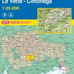 Alpi Feltrine – La Vรจtte – Cimรฒnega Tabacco 023
 Alpi Carniche – Carnia Centrale Tabacco 09
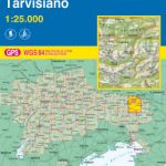 Alpi Giulie Occidentali – Tarvisiano Tabacco 019
 Valle Gesso – Parco Naturale delle Alpi Marittime
 Alpi Carniche Orientali – Canal del Ferro – Nassfeld Tabacco 018
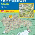 Vipiteno / Sterzing – Alpi Breonie / Stubaier Alpen Tabacco 038
 Monts d`Ardรจche Didier Richard
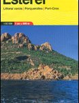 Maures – Esterel Didier Richard 15
 Walks and Treks in the Maritime Alps: The Mercantour and Alpi Maritimi Parks
 Maritime Alps Natural Park – Entracque – Valdieri – Mercantour – Gelas IGC 113
 Alpi di Ledro – Valli Giudicarie Kompass 071
 Alpi Apuane – Versilia – Garfagnana 4Land Cartography
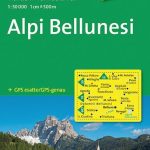 Alpi Bellunesi Kompass 77
 Dolomites 4-Map Set Kompass 672
 Allgรคu 35K Kompass Hiking Atlas No.2751
 Alto Garda – Ledro – Monte Baldo North Tabacco 061
 Dolomiti di Brenta Tabacco 053
 Cortina d`Ampezzo – Dolomiti Ampezzane Tabacco 03
 Italy: Tabacco 25K Walking Maps of the Dolomites and North-Eastern Italy
 Val d`Ultimo / Ultental Tabacco 042
 Altopiano di Pinรจ – Valli di Cembra e dei Mocheni – Trento Tabacco 062
 Merano and the Surrounding Area Tabacco 011
Val Passiria / Passeiertal Tabacco 039
Merano and the Surrounding Area Tabacco 011
Val Passiria / Passeiertal Tabacco 039
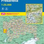 Adamello – Presanella Tabacco 052
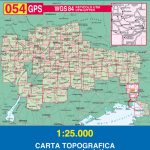 Collio – Brda – Gorizia Tabacco 054
 Dolomiti di Sesto / Sextener Dolomiten Tabacco 010
 Prealpi Carniche e Giuli de Gemonese Tabacco 020
 Prealpi Giulie – Valli del Torre Tabacco 026
 Pale di San Martino Tabacco 022
 Val Tramontina – Val Cosa – Val d`Arzino Tabacco 028
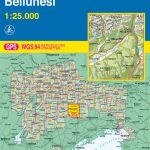 Prealpi e Dolomiti Bellunesi Tabacco 024