Disclosure : This site contains affiliate links to products. We may receive a commission for purchases made through these links.
Mauritania Gizi Map
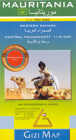
Mauritania and Western Sahara with excellent topographic information on an indexed map with a street plan of central Nouakchot. Vivid altitude colouring with graphics for deserts, flood plains and salt flats shows the terrain. Oases, water wells and numerous spot heights are marked and the map provides plenty of names of geographical features: peaks, mountain chains and rock outcrops, plains, etc. Road network shows distances on main roads and includes dirt tracks. The map also shows locations of local airfields and the route of the iron ore railway line from the mines at Zouรฉrat to the coast. Symbols highlight various places of tourist interest including world heritage sites, forts and archaeological remains, national parks and protected areas, beaches, etc.Names of main towns and important geographical features are also given in Arabic. Internal administrative boundaries are shown with names of the provinces. The map had latitude and longitude lines at intervals of 1ยบ. Map legend includes English. The index lists separately locations in Mauritania, Western Sahara, plus the adjoining regions of Mali and Senegal. Also included is a plan of central Nouakchott indicating main public buildings, hotels and various facilities.Please note: this title is also available as a wall map.

Related Products:
 Mauritania Wall Map
 Morocco Gizi Map
 Algeria Gizi Geographical Map
 Mali & Mauritania ITMB
 Saudi Arabia Gizi Map
 Oman – United Arab Emirates Gizi Map
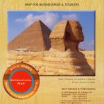 Egypt Gizi Map
 Somalia Gizi Map
 Kazakhstan Political Gizi Map
 Red Sea Gizi Map
 Morocco Wall Map
 Macedonia Gizi Map
 Libya Gizi Road Map
 Mali Gizi Map
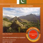 Pakistan Gizi Map
 Algeria Geographical Wall Map
 Ethiopia – Eritrea – Djibouti Gizi Map
 Kazakhstan Geographical Gizi Map
 Mongolia Gizi Road Map
 China Central Gizi Map
 Middle East Gizi Map
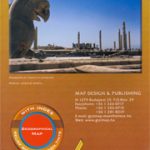 Iran Gizi Map
 Central Asia Geographical Edition Gizi Map
 Saudi Arabia Wall Map
 China Northwest Gizi Map
 Turkmenistan Gizi Map
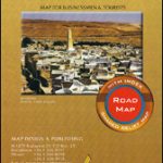 Algeria (Road Edition)
 China Gizi Map Geographical Wall Map
Turkmenistan Gizi Wall Map
China Gizi Map Geographical Wall Map
Turkmenistan Gizi Wall Map
 Cuba Gizi Map
 Kyrgyzstan Gizi Map
 Algeria Road Edition Wall Map
 Vatican City Gizi Map
 New Zealand Gizi Map
 China South Gizi Map
 Oman and United Arab Emirates Wall Map
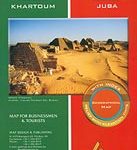 Sudan – South Sudan Gizi Map
 Tibet Gizi Map
 Morocco F&B