Disclosure : This site contains affiliate links to products. We may receive a commission for purchases made through these links.
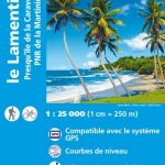
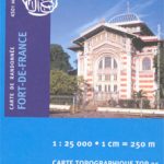
Martinique – Fort-de-France – Montagne Pelee – PNR de la Martinique IGN 4501MT
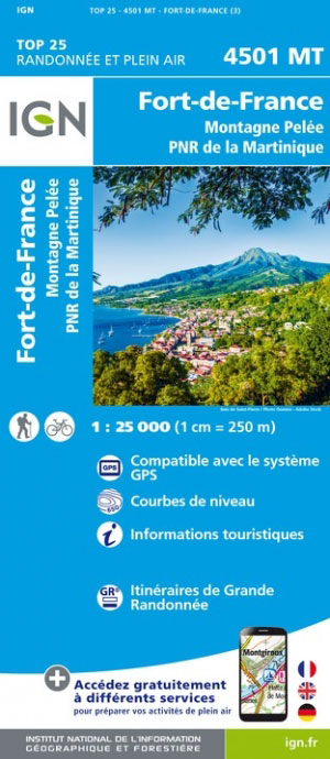
One of the three topographic maps from the Institut Gรฉographique National in Paris covering Martinique. Cartography is similar to that used for IGN’s coverage of France at this scale, with contours at 10m intervals, relief shading, and plenty of information on the type of vegetation: woods and forests, brushwood, plantations and orchards, banana and sugar cane plantations, mangrove swamps.In addition to the usual information found on topographic survey maps, extensive overprint highlights accommodation including huts, gรฎtes d’รฉtape, and campsites, various recreational and nautical facilities (horse riding, golf, tennis, water sports, etc), places of interest, etc. Local and long-distance hiking routes are also prominently marked, indicating any difficult passages. The maps have a UTM grid, plus a latitude/longitude grid at 5’ intervals. Map legend includes English.To see the list of titles in this series please click on the series link.


