Disclosure : This site contains affiliate links to products. We may receive a commission for purchases made through these links.
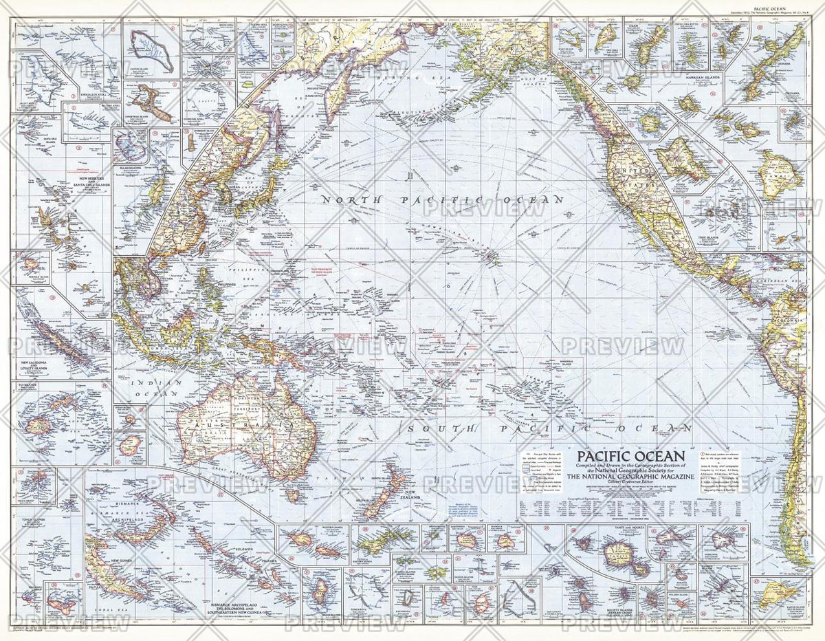
MapSherpa POD Pacific Ocean – Published 1952 947 x 735 mm
Related Products:
 MapSherpa POD Pacific Ocean Floor – Published 1969 632 x 480 mm
 MapSherpa POD Pacific Islands – Published 1962 634 x 479 mm
 MapSherpa POD Philippines – Published 1905 606 x 913 mm
 MapSherpa POD Races of Europe – Published 1918 644 x 553 mm
 MapSherpa POD Northwestern Africa – Published 1966 633 x 478 mm
 MapSherpa POD World Classic Pacific Centered
 MapSherpa POD World Executive Pacific Centered 1166 x 773 mm
 NP80 Volume G: Western Side of South Atlantic Ocean & East Pacific Ocean 2021
 List of Lights – Volume G: Western Side of South Atlantic Ocean & East Pacific Ocean SUPERCEDED
 National Geographic Islands of the Pacific – Published 1974 940 x 573 mm
 Admiralty Chart 4016 – A Planning Chart for the Eastern Atlantic Ocean to the Western Pacific Ocean
 National Geographic Atlantic Ocean Floor – Published 1968 481 x 632 mm
 Pacific Ocean Floor NGS Wall Map PAPER
 Admiralty Chart 991 – Plans in the South Pacific Ocean
 NGA Chart 83500 – Fiji & Tonga Islands to Pacific Ocean
 NGA Chart 81791 – Arno Atoll, Marshall Islands [North Pacific Ocean]
 Pacific: The Ocean of the Future
 Pacific: An Ocean of Wonders
 NOAA Charts for North Pacific Ocean
 SHOM Routeing Charts for the Pacific Ocean
 Solomon Islands & South Pacific Ocean ITMB
 NP350(3) Admiralty Distance Tables: Pacific Ocean Vol. 3
 The Rising Tide: Among the Islands and Atolls of the Pacific Ocean
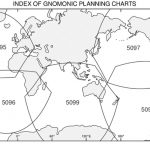 Gnomonic Chart 5097 – North Pacific Ocean
 NZ14061 South Pacific Ocean Western Portion
 Admiralty Chart Folio 57 – Northwest Pacific Ocean
 Admiralty Chart Folio 73 – Southeast Pacific Ocean
 NP204 Tide Tables – South Pacific Ocean 2019
 NP204 Tide Tables – South Pacific Ocean 2020
 NP206 Tide Tables – North Pacific Ocean 2021
 NP204 Tide Tables – South Pacific Ocean 2022
 NP206 Tide Tables – North Pacific Ocean 2022
 NOAA Chart 50 – North Pacific Ocean (eastern part)
 ADMIRALTY Total Tide Area 8 – Pacific Ocean – 12 Months
 5399 South Pacific Ocean – Admiralty Magnetic Variation Chart
 NOAA Chart 18584 – Umpqua River’”Pacific Ocean to Reedsport
 NOAA Chart 514 – North Pacific Ocean’”Bering Sea – (northern part)
 NP136(2) Ocean Passages for the World – The Indian and Pacific Oceans – Digital
 Admiralty Chart 4061 – South Pacific Ocean Western Part
 Admiralty Chart 4062 – South Pacific Ocean Eastern Part


