Disclosure : This site contains affiliate links to products. We may receive a commission for purchases made through these links.
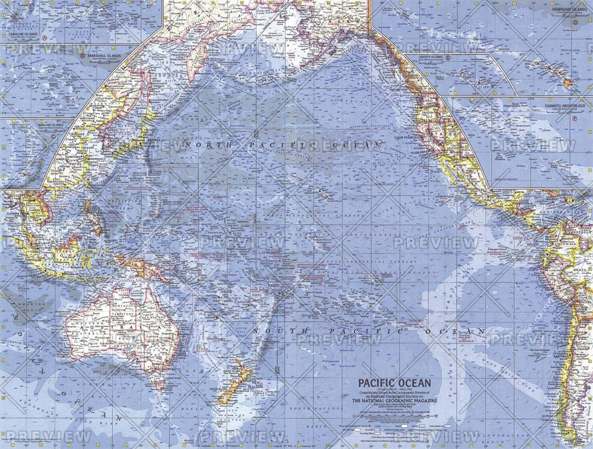
MapSherpa POD Pacific Islands – Published 1962 634 x 479 mm
Related Products:
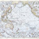 MapSherpa POD Pacific Ocean – Published 1952 947 x 735 mm
 MapSherpa POD Pacific Ocean Floor – Published 1969 632 x 480 mm
 National Geographic Islands of the Pacific – Published 1974 940 x 573 mm
 National Geographic Europe – Published 1962
 MapSherpa POD Philippines – Published 1905 606 x 913 mm
 MapSherpa POD Races of Europe – Published 1918 644 x 553 mm
 MapSherpa POD Northwestern Africa – Published 1966 633 x 478 mm
 MapSherpa POD World Classic Pacific Centered
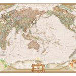 MapSherpa POD World Executive Pacific Centered 1166 x 773 mm
 New Zealand Charts for Pacific Islands
 NOAA Charts for Hawai’ian and Pacific Islands
 Admiralty Chart Folio 74 – Northeast Pacific Ocean incl. Hawaiian Islands
 A History of the Pacific Islands
 South Pacific Islands Nelles
 NP61 Pacific Islands Pilot Vol 2
 NP60 Pacific Islands Pilot Vol 1
 Solomon Islands & South Pacific Ocean ITMB
 NP62 Pacific Islands Pilot Vol 3 – Edition 15, 2020
 Landfalls of Paradise: Cruising Guide To The Pacific Islands
 A Traveller`s History of New Zealand: and the South Pacific Islands
 The Rising Tide: Among the Islands and Atolls of the Pacific Ocean
 NZ14612 Chatham Islands to Pacific – Antarctic Rise
 NP60 Pacific Islands Pilot Volume 1 – Digital
 NP61 Pacific Islands Pilot Volume 2 – Digital
 NGA Chart 83500 – Fiji & Tonga Islands to Pacific Ocean
 The Islands Time Forgot: Exploring the South Pacific Under Sail
 So Many Islands: Stories from the Caribbean, Mediterranean, Indian and Pacific Oceans
 American National Parks: Pacific Islands, Western & Southern USA
 NP62 Pacific Islands Pilot Volume 3 – Digital – Edition 15, 2020
 Admiralty Chart 4612 – Chatham Islands to Pacific-Antarctic Rise
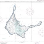 NGA Chart 81791 – Arno Atoll, Marshall Islands [North Pacific Ocean]
 Modernity Britain: 1957-1962
 Admiralty Chart 4610 – Pacific-Antarctic Rise to Southeast Pacific Basin
 Admiralty Chart 4611 – Southwest Pacific Basin to Pacific-Antarctic Rise
 USA: Great Pacific Recreation & Travel Maps of the Pacific Northwest
 CoDex 1962
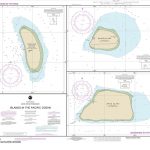 NOAA Chart 83116 – Islands in the Pacific Ocean – Baker Island – Howland Island – Jarvis Island
 Revenge of the Lawn: Stories 1962-1970
 The Cultural Revolution: A People`s History, 1962-1976
 Admiralty Chart 1962 – Hong Kong to Shantou


