Disclosure : This site contains affiliate links to products. We may receive a commission for purchases made through these links.
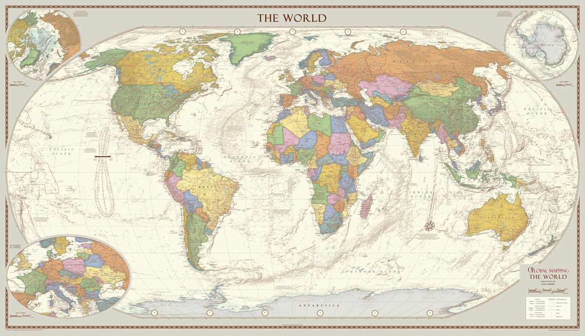
MapSherpa POD Antique Style World Map – Huge 2000 x 1150 mm canvas
Related Products:
 MapSherpa POD Antique Style World Map – Huge 2000 x 1150 mm encapsulated
 Global Mapping Antique Style World Map – Huge 2000 x 1150 mm
 MapSherpa POD Antique Style World map – Large 1333 x 766 mm CANVAS
 MapSherpa POD Antique Style World map – Large 1333 x 766 mm CANVAS, with grips
 MapSherpa POD Antique Style World map – Large 1333 x 766 mm
 MapSherpa POD Antique Style World Map – Medium 1023 x 598 mm
 ITM Antique Style Political World Wall Map
 Political Map of the World (Antique Style) 1500 Piece Jigsaw
 World: Global Mapping Antique Style Political Wall Maps
 Anti-Stress Globe Antique Style
 Antique World Globe 15cm: Swivel and Tilt World Antique Globe
 The Best Flea, Antique, Vintage & New-style Markets in America
 MapSherpa POD Physical World Map – Atlas of the World 10th Edition 711 x 559 mm
 World Antique Political ITMB Wall Map
 World Antique Political ITMB Wall Map LARGE
 MapSherpa POD World Classic Pacific Centered
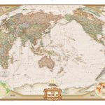 MapSherpa POD World Executive Pacific Centered 1166 x 773 mm
 Antique World Map Face Covering
 World Maps International Antique Political Wall Map
 World Global Mapping Antique Political Wall Map LARGE PAPER
 XYZ World Physical A0/ArchE canvas with grips
 Oxford Cartographers Peters Projection World Political Map 863 x 613 mm CANVAS
 World: National Geographic Society Classic Style Political Wall Maps
 World: National Geographic Society Executive Style Political Wall Maps
 World: National Geographic Society Decorator Style Political Wall Maps
 Stanford`s General Map of the World (1920) – A3 Wall Map, Canvas
 Stanford`s General Map of the World (1920) – A2 Wall Map, Canvas
 Stanford`s General Map of the World (1920) – A1 Wall Map, Canvas
 Stanford`s Library Map of the World (1879) – A3 Wall Map, Canvas
 Stanford`s Library Map of the World (1879) – A2 Wall Map, Canvas
 Stanford`s Library Map of the World (1879) – A1 Wall Map, Canvas
 Stanford`s Pacific-centred World Map (1884) – A4 Wall Map, Canvas
 Stanford`s Pacific-centred World Map (1884) – A3 Wall Map, Canvas
 Stanford`s Pacific-centred World Map (1884) – A2 Wall Map, Canvas
 Stanford`s New Library Chart of the World (1920) – A3 Wall Map, Canvas
 Stanford`s New Library Chart of the World (1920) – A2 Wall Map, Canvas
 Stanford`s New Library Chart of the World (1920) – A1 Wall Map, Canvas
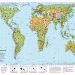 Oxford Cartographers Peters Projection World Environmental 863 x 613 mm CANVAS
 Stanfords Sepia General Map of the World (1920) 60×80 Canvas Print
 Stanfords Colour General Map of the World (1920) 60×80 Canvas Print


