Disclosure : This site contains affiliate links to products. We may receive a commission for purchases made through these links.
Mapping England
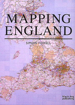
Mapping England shows, through a series of compelling maps – both historic and contemporary – how England has scrutinized itself, been seen by others and how it has recorded its ever-changing circumstances.England has been continuously mapped from medieval times to the present, both functionally and creatively, and it is these maps that have helped to define ideas of what England is and could be. They have developed and maintained its identity amongst other nations and explored its essential character and limits.The maps included show a country at times confident but also unsure of itself. Often drawn for purely practical purposes they frequently and unconsciously reveal the true state of the nation, and the hopes and fears of its inhabitants. England has been the crucible for many of the most significant developments in cartography and Mapping England tells the story of how its position in the world has evolved and, in so doing, entails new ways of seeing and expressing such findings in graphic form.

Related Products:
 Exotic England: The Making of a Curious Nation
 New York State & New England Recreation Map ITMB
 Scotland: Defending the Nation: Mapping the Military Landscape
 England Your England
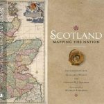 Scotland: Mapping the Nation
 Mapping Shakespeare: An exploration of Shakespeare`s worlds through maps
 Edinburgh: Mapping the City
 Four Lions: The Lives and Times of Four Captains of England
 Historic England: Dorset: Unique Images from the Archives of Historic England
 Diana: Her True Story – In Her Own Words: The Sunday Times Number-One Bestseller
 The Mountains of England and Wales: Vol. 2 – England
 North England & South Scotland: Railway Systems c.1900
 In England
 Mapping Latin America
 England`s Cathedrals
 England`s Cathedrals by Train
 Traveller`s History of England
 DK Eyewitness New England Travel Guide
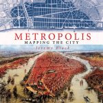 Metropolis: Mapping the City
 The Building of England: How the History of England Has Shaped Our Buildings
 The Debatable Land: The Lost World Between Scotland and England
 Pictorial Map of England and Wales 1935 Gift Wrap
 England and the Aeroplane
 England`s Other Cathedrals
 England and Wales – Good Mountain Biking Guide
 Mapping Towns & Cities
 Flag of England (St George`s Cross)
 Haunted England – The Penguin Book of Ghosts
 Mapping India
 Journeys Through England in Particular: Coasting
 New England – Hudson Valley Michelin Regional 581
 Dominion: A History of England Volume V
 Northern England OS Road Map 4
 Favourite Poems of England
 Take the Slow Road: England and Wales: Inspirational Journeys Round England and Wales by Camper Van and Motorhome
 A Line Around England: A Colouring Book of the Nation`s Favourite Landmarks
 South East England OS Road Map 8
 South West England OS Road Map 7
 Great Britain: Victorian England & Wales 1897 Maps from the Old House Books
 Manchester England