Disclosure : This site contains affiliate links to products. We may receive a commission for purchases made through these links.
Map of Discovery – Eastern Hemisphere NGS Wall Map PAPER
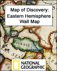
Map of Discovery: the Eastern Hemisphere from the National Geographic, size 51 x 46cm (20″ x 18″) is a reproduction of a decorative map produced by the renowned American artist and illustrator Newell Convers Wyeth. Country boundaries are as at the time of it publication in 1927. On continents and oceans the map shows the routes taken by the great explorers, from Marco Polo between 1271 and 1295, through Drake, Magellan, Cook, Stanley, Livingstone and others, to the explorations of the Arctic and the Antarctic by Ross, Wilkes and Nansen. The map is surrounded by drawings evoking the great days of discovery and decorative features on maps from earlier cartographers.PLEASE NOTE: A similar map is also available for the Western Hemisphere.


