Disclosure : This site contains affiliate links to products. We may receive a commission for purchases made through these links.
Manitoba ITMB
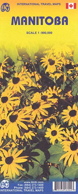
Double-sided map of Manitoba Province at 1:900,000, part of a series of maps of Canadian provinces from the Vancouver-based ITMB, with topography presented by altitude colouring rather than by relief shading.Road and rail networks are shown on a clear base with numerous national or regional parks and nature reserves prominently marked. Winter roads and tracks are prominently indicated; symbols highlight various places of interest, sport and recreational facilities, etc. The map has a latitude and longitude grid at intervals of 1ยบ and an index of localities.Also included are street plans of Winnipeg and Downtown Winnipeg indicating one-way streets, points of interest, and various facilities.


