Disclosure : This site contains affiliate links to products. We may receive a commission for purchases made through these links.
Manila ITMB
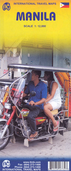
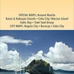
Manila at 1:12,000 on a double-sided indexed street plan from ITMB, with a diagram of the city’s metro network. The plan divides the city north/south, roughly along the upper part of the Pasig River, with a generous overlap between the two sides.Coverage of the northern side extends to Caloocan City – San Francisco del Monte and inland to the Cubao district. The southern side includes the Legaspi Vill and the Ayala Centre area. The plan clearly shows the city’s main traffic arteries, indicating one way streets, car parks and locations of petrol stations. Metro or railway stations and bus terminals are marked and in the port pier numbers are also shown. The plan highlights numerous hotels, various facilities including banks and shopping centres, cultural sites, educational establishments and governmental offices, etc. Each side of the map has a separate index.

Related Products:
 Stockholm & Southern Sweden ITMB
 Rome & Southern Italy ITMB
 Iran & Tehran ITMB
 Beijing & the Great Wall ITMB
 Philippines – Manila Nelles
 Taiwan & Taipei ITMB
 Delhi & Northern India ITMB
 Moscow ITMB
 Sao Paulo & Brazil South Coast ITMB
 Oslo / Bergen & South of Norway ITMB
 Easter Island & Santiago ITMB
 Washington DC & Eastern Corridor (Boston to DC) ITMB
 Jakarta ITMB
 Vancouver & Greater Vancouver ITMB
 Tehran & Northern Iran ITMB
 Warsaw & Poland East ITMB
 Tartu Jana Seta Street Plan WATERPROOF
 Bangkok & Thailand South ITMB
 Singapore Periplus Travel Map
 Madrid Essential Telstar Map
 Pรคrnu Jana Seta Street Plan WATERPROOF
 Ho Chi Minh City / Saigon & Vietnam South ITMB
 Qatar and Doha City ITMB
 Tallinn Jana Seta Street Plan WATERPROOF
 Uganda ITMB
 Helsinki & Southern Finland ITMB
 Hungary & Budapest ITMB
 Guangzhou & China South ITMB
 Helsinki City Map & Guide
 Jerusalem & Holy Land ITMB
 Texas & Oklahoma ITMB
 Quito & Central Ecuador ITMB
 Tel Aviv-Jaffa & Central Israel ITMB
 Mumbai / Bombay – India West Coast ITMB
 Tokyo & Central Japan ITMB
 St Petersburg Marco Polo City Map
 Los Angeles & Southern California ITMB
 Krakow ITMB
 Montreal
 Togo & Benin ITMB