Disclosure : This site contains affiliate links to products. We may receive a commission for purchases made through these links.
Manhattan & New York State ITMB
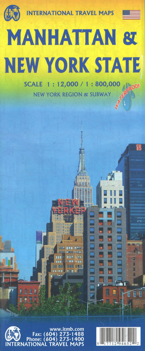
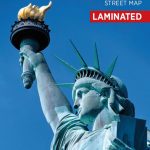
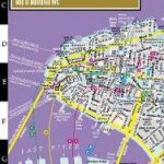
Manhattan at 1:12,500 on a light, waterproof and tear-resistant street plan with a large diagram of NYC’s subway/rail network and a map of the city environs: plus on the reverse an indexed road map of the Northeastern Corridor between Washington DC and Boston extending west to the Niagara Falls and a street plan of central DC.On one side is a very clear street plan of Manhattan, extending north just beyond Central Park. Names of the various districts of the city are clearly shown, as are subway and railway stations, each indicating which lines stop there. The direction of traffic is marked, and many streets and avenues are annotated with selected house numbers for easier identification of addresses. The map shows locations of numerous hotels (shown with their names) and highlights various places of interest. Within the Broadway’s Theatre District individual venues are either named or cross-referenced to a separate list. The plan is indexed and includes a large, very clear diagram of the subway/rail network, plus an extract from it conveniently placed on the map cover showing the network within Manhattan itself. Also provided is a map of the city’s region showing road access to JFK, La Guardia and Newark International airports.On the reverse is an indexed road map at 1:1,000,000. Coverage extends from just north of Boston to just south of Washington DC, and inland to Cleveland and Toronto, so includes the Niagara Falls, Philadelphia, Baltimore, Pittsburgh, etc. The map has altitude colouring to show the topography and presents the network of main highways and connecting roads. Various places of interest are highlighted. Central Washington DC, from The White House to the Capitol and the Union Station, is shown on a street plan with cartography similar to that of Manhattan.To see other regional titles from ITMB covering USA please click on the series link.


