Disclosure : This site contains affiliate links to products. We may receive a commission for purchases made through these links.
Manchester SE & Ardwick 1932 – 104.11b

Manchester South-East and Ardwick in 1932 in a fascinating series of reproductions of old Ordnance Survey plans in the Alan Godfrey Editions, ideal for anyone interested in the history of their neighbourhood or family. Two versions have been published for this area, extending from Brook Street eastward to Barmouth Street, and from Pollard Street southward to Clowes Street. Features include London Road (today Piccadilly) station, Mayfield station, GCR goods station, Ardwick station, Ancoats goods station, many other railway lines and sidings including engine shed and Ardwick Branch, Ardwick Cemetery, Manchester City`s Hyde Road football ground, Bradford Recreation Ground, David Lewis Play Ground, Rusholme Road Cemetery, Ardwick Green, Ardwick Cemetery, School of Technology, Workhouse, Vulcan Works, Dale Street Basin, Manchester & Ashton Canal, Britannia Brewery, etc. On the reverse is a selection of street directory entries.About the Alan Godfrey Editions of the 25″ OS Series:Selected towns in Great Britain and Ireland are covered by maps showing the extent of urban development in the last decades of the 19th and early 20th century. The plans have been taken from the Ordnance Survey mapping and reprinted at about 15 inches to one mile (1:4,340). On the reverse most maps have historical notes and many also include extracts from contemporary directories. Most maps cover about one mile (1.6kms) north/south, one and a half miles (2.4kms) across; adjoining sheets can be combined to provide wider coverage.FOR MORE INFORMATION AND A COMPLETE LIST OF ALL AVAILABLE TITLES PLEASE CLICK ON THE SERIES LINK.

Related Products:
 Manchester South-East 1915
Manchester North West and Central Salford 1915
Manchester South-East 1915
Manchester North West and Central Salford 1915
 Manchester: London Road 1849
 Manchester: Ancoats North 1848
 Manchester Oxford Street and Gaythorn 1849
Manchester Piccadilly 1849 – 29
Manchester Oxford Street and Gaythorn 1849
Manchester Piccadilly 1849 – 29
 Manchester New Cross 1849
Manchester: Castlefield 1848
Manchester New Cross 1849
Manchester: Castlefield 1848
 Manchester: Hulme 1844
 Manchester City Centre 1849 – M28
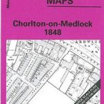 Manchester: Chorlton-on-Medlock 1848
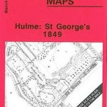 Manchester: Hulme St Georges 1849
North Surbiton and South Kingston 1932
Glasgow High Street 1909
Glasgow High Street 1933
Sheffield Park 1903
Manchester: Hulme St Georges 1849
North Surbiton and South Kingston 1932
Glasgow High Street 1909
Glasgow High Street 1933
Sheffield Park 1903
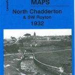 Chadderton North 1932
 Ayr 1909 – 33.06
Fallowfield 1904
Pollokshields 1894
Trafford Park South 1937
Harton 1895
Paisley 1858 (Colour Edition)
St Rollox 1894 – 6.07a
Ayr 1909 – 33.06
Fallowfield 1904
Pollokshields 1894
Trafford Park South 1937
Harton 1895
Paisley 1858 (Colour Edition)
St Rollox 1894 – 6.07a
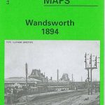 Wandsworth 1894 – 114a
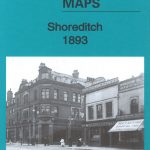 Shoreditch 1893 – 51.2
Glasgow St Rollox 1933
Luton 1922 – 33.05
Shoreditch 1893 – 51.2
Glasgow St Rollox 1933
Luton 1922 – 33.05
 Bootle 1907
Shoreditch 1872 – 51.1
Bootle 1907
Shoreditch 1872 – 51.1
 Shoreditch 1914 – 51.3
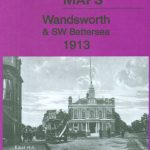 Wandsworth & SW Battersea 1913 – 114b
 South Croydon 1895 – 14.14
 South Croydon 1895 – 159.2
Carlisle South-West 1924
South Croydon 1895 – 159.2
Carlisle South-West 1924
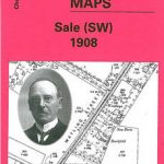 Sale South-West 1908
 Rochdale West 1908
Newcastle & Gateshead 1914 – 18b
Newcastle & Gateshead 1894 – 18a
Sheffield 1921 – 294.08b
Rochdale West 1908
Newcastle & Gateshead 1914 – 18b
Newcastle & Gateshead 1894 – 18a
Sheffield 1921 – 294.08b