Disclosure : This site contains affiliate links to products. We may receive a commission for purchases made through these links.
Manchester: Chorlton-on-Medlock 1848

Chorlton-on-Medlock area of Manchester in 1848 in a series of exceptionally detailed reproductions of old Ordnance Survey street plans for areas of larger cities which have undergone substantial redevelopment in the late 19th or the early 20th century, published in the Alan Godfrey Editions.The plans, printed in back and white, have been taken from the original Ordnance Survey mapping at 1:1,056 and reproduced at 1:1,760 ‘“ the equivalent of 36 inches (or one yard) to a mile. The maps provide an unrivalled, house-by-house picture of streets and individual buildings with inner courtyards, outbuildings, pavements, covered passages, etc. Many important institutions are named; within the National Galley on Trafalgar Square even the individual rooms (the map is from 1871, so no French Impressionists as yet!).On the reverse are historical notes about the area covered by the map, plus extracts from contemporary street directories.These maps provide a fascinating addition to Alan Godfrey’s huge series of some 2,000 titles presenting reproductions of street plans at taken from the Ordnance Survey mapping at 1:2,500 (25″ to 1 mile) and reprinted at about 15 inches to one mile (1:4,340).

Related Products:
 Manchester: Castlefield 1848
 Manchester: Ancoats North 1848
 Liverpool Shaw Street 1848
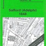 Salford Adelphi 1848
 Liverpool Mount Pleasant 1848
Manchester Piccadilly 1849 – 29
Liverpool Mount Pleasant 1848
Manchester Piccadilly 1849 – 29
 Manchester New Cross 1849
 Manchester: Hulme 1844
Manchester Oxford Street and Gaythorn 1849
Manchester: Hulme 1844
Manchester Oxford Street and Gaythorn 1849
 Manchester City Centre 1849 – M28
 Manchester: London Road 1849
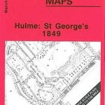 Manchester: Hulme St Georges 1849
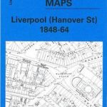 Liverpool Hanover Street 1864
 Great Britain: Godfrey Editions of Historical Ordnance Survey “A Yard to the Mile” City Plans
Piccadilly 1869
Great Britain: Godfrey Editions of Historical Ordnance Survey “A Yard to the Mile” City Plans
Piccadilly 1869
 Hull Old Town 1853
 Ancoats 1849 – 30
Liverpool (Great Howard Street) 1864 – 18
Ancoats 1849 – 30
Liverpool (Great Howard Street) 1864 – 18
 Liverpool Vauxhall 1864
Liverpool Wapping 1864
Old St Pancras 1871-1894
Liverpool Vauxhall 1864
Liverpool Wapping 1864
Old St Pancras 1871-1894
 St Paul`s and Newgate 1873
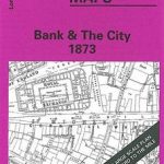 Bank & the City 1873 – 7.66
 Stockport Town Centre 1873
Liverpool London Road 1864
Charing Cross 1871-1894
Hull (Queen`s Dock) 1853 – 8
Finsbury Square & Circus 1873 – 7.56
Langham Place & Fitzrovia 1870 – 7.52
Stockport Town Centre 1873
Liverpool London Road 1864
Charing Cross 1871-1894
Hull (Queen`s Dock) 1853 – 8
Finsbury Square & Circus 1873 – 7.56
Langham Place & Fitzrovia 1870 – 7.52
 London Bridge Station 1872-1893
Liverpool Pierhead (Prince`s and George`s Docks) 1864
Leeds Town Hall and Park Square 1847-1863
Liverpool Toxteth Mill Street 1847
Windsor (North) 1868 – 32.53
Windsor (South) 1868 – 32.63
London Bridge Station 1872-1893
Liverpool Pierhead (Prince`s and George`s Docks) 1864
Leeds Town Hall and Park Square 1847-1863
Liverpool Toxteth Mill Street 1847
Windsor (North) 1868 – 32.53
Windsor (South) 1868 – 32.63
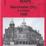 Manchester SE & Ardwick 1932 – 104.11b
 Manchester South-East 1915
Manchester North West and Central Salford 1915
Great Britain and Ireland: Godfrey Editions of Historical Ordnance Survey 25″ Street Plans
Dun Laoghaire 1908
Manchester South-East 1915
Manchester North West and Central Salford 1915
Great Britain and Ireland: Godfrey Editions of Historical Ordnance Survey 25″ Street Plans
Dun Laoghaire 1908