Disclosure : This site contains affiliate links to products. We may receive a commission for purchases made through these links.
Maldives – Atoll Editions

Related Products:
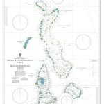 Admiralty Chart 1014 – South Maalhosmadulu Atoll to Ihavandhippolhu Atoll
 Admiralty Chart 1012 – North Huvadhoo Atoll to Mulaku Atoll
 Admiralty Chart 1011 – Addoo Atoll to North Huvadhoo Atoll
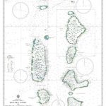 Admiralty Chart 1013 – Mulaku Atoll to South Maalhosmadulu Atoll
 NGA Chart 81023 – Namonuito Atoll to Faraulep Atoll
 NOAA Chart 83157 – Palmyra Atoll – Approaches to Palmyra Atoll
 Flag of Maldives
 Resort Map of the Maldives
 Maldives Southern Atolls – Map 3
 Maldives Travel Pack
 Lonely Planet Maldives
 Maldives Cruising Guide
 Maldives Franko Map & Dive Guide
 Gatecrashing Paradise: Adventures in the Maldives
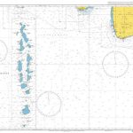 Admiralty Chart 709 – Maldives to Sri Lanka
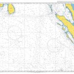 Admiralty Chart 4707 – Maldives to Sumatera
 Admiralty Chart 2068 – Anchorages in the Maldives
 SHOM Chart 6674 – Du Golfe d’Aden aux Maldives et aux Seychelles
 Maldives Marco Polo Pocket Travel Guide 2019 – with pull out map
 Admiralty Chart 4703 – Gulf of Aden to the Maldives and Seychelles Group
 NGA Chart 63010 – Cochin to Calimere Pt, with Sri Lanka & the northern portion of the Maldives (OMEGA)
 NGA Chart 81209 – Ulithi Atoll
 NGA Chart 81237 – Woleai Atoll
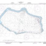 NGA Chart 81544 – Bikini Atoll
 NGA Chart 81715 – Kwajalein Atoll
 NGA Chart 81782 – Majuro Atoll
 Admiralty Chart 2983 – Funafuti Atoll
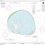 NOAA Chart 19483 – Kure Atoll
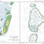 Admiralty Chart 3323 – Male Atoll
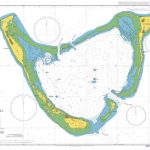 Admiralty Chart 2067 – Addoo Atoll
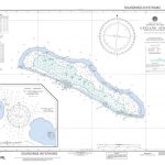 NGA Chart 81511 – Ujelang Atoll, Marshall Islands
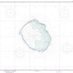 NGA Chart 81523 – Enewetak Atoll, Marshall Islands
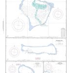 NGA Chart 81557 – Rongerik Atoll, Marshall Islands
 NGA Chart 81604 – Wotje Atoll: Marshall Islands
 NGA Chart 81612 – Ailuk Atoll Marshall Islands
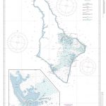 NGA Chart 81817 – Jaluit Atoll, Marshall Islands
 NGA Chart 81133 – Pulap Atoll, Caroline Islands
 NGA Chart 81531 – Enewetak Atoll – Eastern Part
 NGA Chart 81737 – Ailinglapalap Atoll [Marshall Islands]
 NOAA Chart 83633 – Approaches to Johnston Atoll


