Disclosure : This site contains affiliate links to products. We may receive a commission for purchases made through these links.
Malaysia Periplus Travel Map
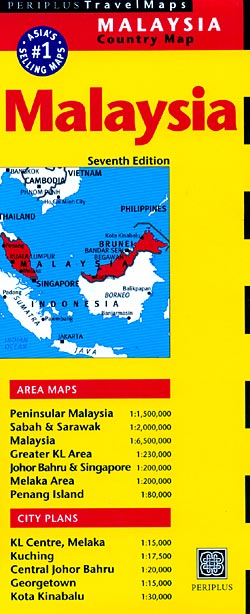
Malaysia on a double-sided map by Periplus, with enlargements for its most visited regions plus street plans for central Kuala Lumpur, Melaka, Georgetown, Johor Bahru, Kota Kinabalu and Kuching.Peninsular Malaysia is shown at 1:1,500,000, with Sabah and Sarawak at 1:2,000,000, accompanied by a map showing these two parts of the country in proper geographical context at 1:6,500,000. The network of main roads and railways is shown on a base with bold relief shading and spot heights for the main peaks. Local airports are marked and numerous places of interest highlighted, including historic sites, beaches, diving sites and national parks. The mapping also shows internal administrative divisions with names of the provinces. Latitude and longitude lines are drawn at intervals of 2ยฐ on the main country maps.The map also includes:* Enlargements of the Johor Bahru region with Singapore (1:200,000) and of the Penang Island (1:80,000)* Greater Kuala Lumpur area at 1:230,000 plus a large street plan of central Kuala Lumpur at 1:15,000* Street plans of central Georgetown (1:15,000), Melaka (1:15,000), Johor Bahru (1:20,000), Kuching (1:17,500) and Kota Kinabalu (1:30,000).Like the main maps and the enlargements, street plans are also all annotated with various places of interest, plus numerous hotels, etc. None of the maps or plans are indexed. Also provided is a distance table.

Related Products:
 Peninsular Malaysia Periplus Travel Map
 Malaysia West – Singapore Nelles
 China Periplus Travel Map
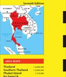 Thailand Periplus Travel Map
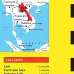 Laos Periplus Travel Map
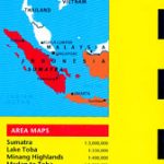 Sumatra – Medan Periplus Travel Map
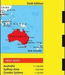 Australia Periplus Travel Map
 Malaysia – Brunei Nelles
 Bali Periplus Travel Map
 Lombok & Komodo Periplus Travel Map
 India Periplus Travel Map
 Hong Kong & Macau Periplus Travel Map
 Okinawa & the Ryukyu Islands Periplus Travel Map
 Malaysia ITMB
 Java & Bali Periplus Travel Map
 Singapore Periplus Travel Map
 Sri Lanka Periplus Travel Map
 Myanmar / Burma Periplus Travel Map
 Kuala Lumpur Flexi Map
 Indonesia Periplus Travel Map
 Thailand, Vietnam, Laos & Cambodia ITMB Travel Atlas
 Shanghai Periplus Travel Map
 Cambodia Periplus Travel Map
 Middle East ITMB Travel Atlas
 Indonesia: Periplus Regional Maps
 Kuala Lumpur & Malay Peninsula ITMB
 Tokyo Periplus Travel Map
 Thailand Borch
 Korea & Seoul Periplus Travel Map
 Malaysia Periplus Wall Map
 Argentina Borch
 Beijing Borch
 Kuala Lumpur Lonely Planet City Map
 Ecuador Borch
 Costa Rica Travel Map
 Coast Around Lisbon Turinta
 Bangkok Periplus Travel Map
 Luke Nguyen`s Street Food Asia: Saigon, Bangkok, Kuala Lumpur, Jakarta
 Sikkim
 Australia: UBD Gregory`s Regional Road Maps