Disclosure : This site contains affiliate links to products. We may receive a commission for purchases made through these links.
Majella 6-Map Set
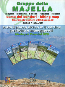
Parco Nazionale della Maiella in the Abruzzo region of Italy presented by Societรก Editrice Ricerche in a set of six handy size, double-sided, contoured and GPS compatible maps at 1:25,000 with cartography of the Italian topographic survey and highlighting for waymarked trails, climbing sites, refuges, etc.Each map measures either 62 or 89cm x 37cm and has an overlap both between its two sides and with the adjoining sheets. Contour lines are at 25m intervals, enhanced by shading and graphic relief, with colouring and/or graphics in indicate woodlands. An overprint highlights hiking tails, indicating their waymarking and where, appropriate, difficult sections. Symbols show locations of refuges, bivouac places, caves (indicating those with bivouac facilities), climbing sites, park information offices, etc. The maps have a 1-km UTM grid and map legend includes English.Each title also has photos of local huts, refuges and other interesting locations. To see the other titles in this series please click on the series link.

Related Products:
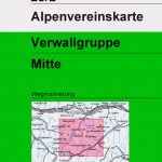
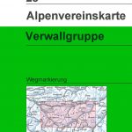 Verwallgruppe Alpenverein Map 28
 Valpelline – Saint-Barthรฉlemy L`Escursionista Editore 6
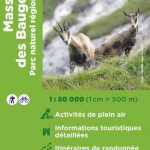 Massif des Bauges Parc Naturel Rรฉgional IGN 83308
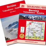 Bernina – Valmalenco – Sondrio L`Escursionista Editore 21
 Valsavarenche – Gran Paradiso L`Escursionista Editore 9
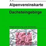 Dachsteingruppe Alpenverein KOMBI Map 14
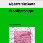 Venedigergruppe Alpenverein KOMBI Map 36
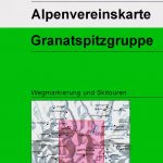 Granatspitzgruppe Alpenverein KOMBI Map 39
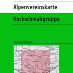 Hochschwabgruppe Alpenverein KOMBI Map 18
 Valgrisenche – Val di Rhemes – Valsavarenche L`Escursionista Editore 3
 Val di Champorcher – Mont Avic L`Escursionista Editore 11
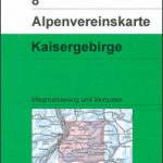 Kaisergebirge Alpenverein KOMBI Map 8
 Brennerberge Alpenverein Map 31/3
 Tennengebirge Alpenverein Map 13
 Glocknergruppe Alpenverein KOMBI Map 40
Basse valli d`Ayas e del Lys L`Escursionista Editore 12
Glocknergruppe Alpenverein KOMBI Map 40
Basse valli d`Ayas e del Lys L`Escursionista Editore 12
 Karwendelgebirge Central Alpenverein Map 5/2
 Niedere Tauern I Alpenverein Map 45/1
 Niedere Tauern III Alpenverein Map 45/3
 Silvretta Alpenverein KOMBI Map 26
 Monte Bianco / Mt Blanc – Courmayeur L`Escursionista Editore 1
 Hochalmspitze – Ankogel Alpenverein Map 44
Valle di Cogne – Gran Paradiso L`Escursionista Editore 10
Hochalmspitze – Ankogel Alpenverein Map 44
Valle di Cogne – Gran Paradiso L`Escursionista Editore 10
 Brennerberge Alpenverein 31/3SKI
 Verwallgruppe Central Alpenverein Map 28/2
 Niedere Tauern II Alpenverein Map 45/2
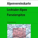 Lechtal Alps – Parseierspitze Alpenverein Map 3/3
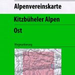 Kitzbuhel Alps East Alpenverein Map 34/2
 Innsbruck and Environs Alpenverein Map 31/5
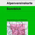 Sonnblick Alpenverein KOMBI Map 42
 Schobergruppe Alpenverein KOMBI Map 41
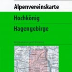 Hochkรถnig – Hagengebirge Alpenverein KOMBI Map 10/2
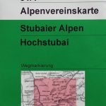 Stubai Alps – Hochstubai Alpenverein KOMBI Map 31/1
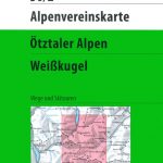
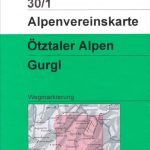 Otztal Alps – Gurgl Alpenverein KOMBI Map 30/1
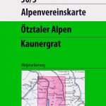 Otztal Alps – Kaunergrat Alpenverein KOMBI Map 30/3
Alte Valli di Lanzo – Val Grande – Val d`Ala – Val di Viu L`Escursionista Editore 17
Otztal Alps – Kaunergrat Alpenverein KOMBI Map 30/3
Alte Valli di Lanzo – Val Grande – Val d`Ala – Val di Viu L`Escursionista Editore 17
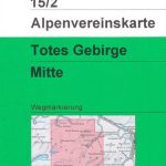 Totes Gebirge Central Alpenverein KOMBI Map 15/2
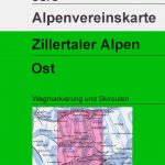 Zillertal Alps East Alpenverein KOMBI Map 35/3
 Conca di Aosta – Mont Emilius – Mont Fallere L`Escursionista Editore 4
Karwendel Range West Alpenverein Map 5/1
Conca di Aosta – Mont Emilius – Mont Fallere L`Escursionista Editore 4
Karwendel Range West Alpenverein Map 5/1