Disclosure : This site contains affiliate links to products. We may receive a commission for purchases made through these links.
Madrid Postcodes Telstar Map
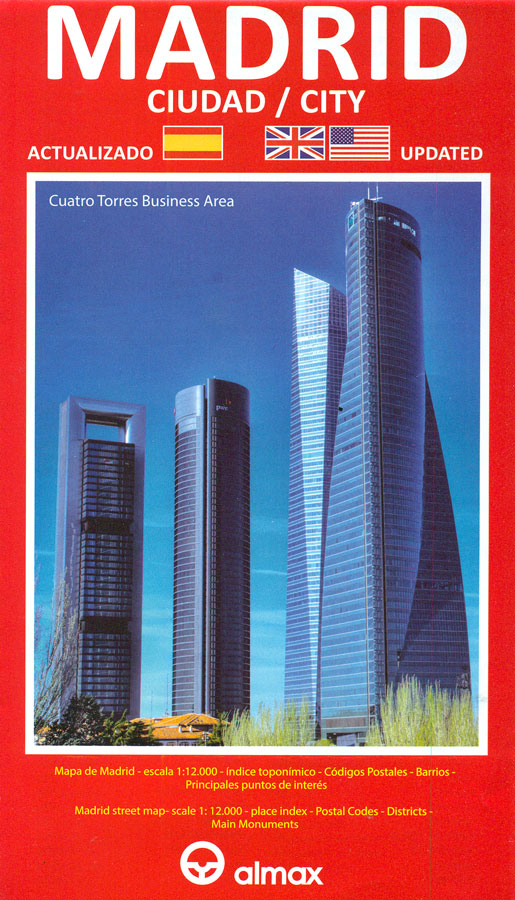
Madrid with its outer districts on a large, indexed map at 1:12,000 from Telstar Distrimapas showing postal districts in different colours, plus an enlargement of the city centre, and diagrams of the metro/light rail and commuter trains networks.Postal districts are in different colours and shown their 5-digit number (28xxx). The map shows metro and railway stations, car parks, locations of selected hotels and food markets, etc. Also marked is the course of the city’s cycling green belt. The index is on the reverse. The map includes an enlargement for the city centre (roughly: Royal Palace ‘“ Gran Viรก ‘“ The Prado- Conservatorio) plus two clear diagrams of the metro/light rail and the commuter trains networks. Map legend includes English.


