Disclosure : This site contains affiliate links to products. We may receive a commission for purchases made through these links.
MacGillycuddy`s Reeks Harvey Superwalker XT30
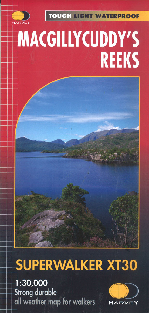
Includes the whole of the Killarney National Park.Detailed map for hillwalkers of MacGillycuddy`s Reeks at 1:30,000 scale.Summit enlargement of Carrauntoohil at 1:15,000.Shows tracks, paths and cliffs in detail. As used by Mountain Rescue Ireland.PLEASE NOTE: this title is also available as a pocket-size Ultramap with its scale reduced to 1:40,000 – to see the list of titles available in this series please click on the series link.Maps in Harvey’s Superwalker series have contours at 15m intervals, with additional graphics for various types of terrain (crags, large boulders, scattered rocks) and colouring for different kinds of land use or vegetation (pastures, bogs, forests or woodland, etc). The maps show local hiking paths, indicating where appropriate long-distance routes, and boundaries of national parks or other protected areas. Some maps additionally highlight local cycle routes. A range of symbols mark various facilities for walkers including youth or independent hostels, campsites and caravan sites, information points, etc. Each map has a 1-km British or Irish national grid.


