Disclosure : This site contains affiliate links to products. We may receive a commission for purchases made through these links.
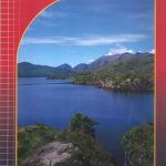
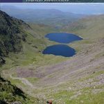
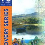
MacGillycuddy`s Reeks and Killarney National Park OSI Adventure Map

Macgillycuddy`s Reeks and the Killarney National Park on a double-sided, GPS compatible map at 1:25,000 from the Ordnance Survey Ireland with cartography of the country’s topographic survey, plus the central part of the Reeks at 1:12,500. Coverage extends from Killarney westwards to Lough Caragh. Where appropriate place names are given in both Irish and English versions.Topography is vividly presented by contours at 10m intervals with additional graphics and/or colouring to show bogs, moraine, scree, different types of woodlands, etc. Waymarked hiking paths and their trailheads are highlighted, and the map also shows the Ring of Kerry cycle route. Symbols indicate camping and caravan sites, youth hostels, locarions for horse riding or angling, information offices, bus stops, etc. The map has a 1km ITM (Irish Transverse Mercator) grid, plus latitude and longitude margin ticks at 1’. An enlargement presents the central part of the Macgillycuddy’s Reeks, around Carrauntoohil and Lough Callee in greater detail and clarity at 1:12,500.


