Disclosure : This site contains affiliate links to products. We may receive a commission for purchases made through these links.
M40 Ligurian and Tyrrhenian Seas
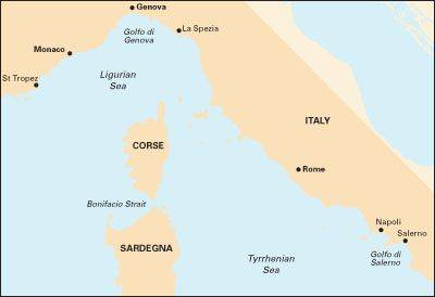
Plans included: Monte Argentario (1:100 000) Bonifacio Strait (1:225 000) Golfo di Salerno (1:100 000) For this 2014 edition the chart has been fully updated throughout using revised depths where applicable. The full list of recently deployed AIS transmitters are shown across the chart, as is the new marina in Rada di Salerno.

Related Products:
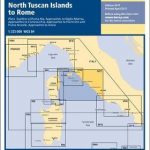 M17 North Tuscan Islands to Rome
 G28 Nisos Khios & the Coast of Turkey
 C14 Plymouth Harbour and Rivers
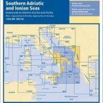 M30 South Adriatic and Ionian Seas
 Admiralty Chart 805 – Ports in the Tyrrhenian Sea
 NGA Chart 53031 – Golfe du Lion to Tyrrhenian Sea
 M16 Ligurian Sea
 C36 Ile d`Ouessant to Raz de Sein
 Admiralty Chart 4604 – Coral and Solomon Seas and Adjacent Seas
 M11 Gibraltar to Cabo De Gata and Morocco
 C51 Cardigan Bay
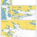
 Y33 Langstone and Chichester Harbours
 Y33 Langstone and Chichester Harbours SUPERCEDED
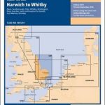 C29 Harwich to Whitby
 G14 Saronic and Argolic Gulfs
 A233 Virgin Islands (Charts A231 and A232 back-to-back without text)
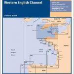 C10 Western English Channel
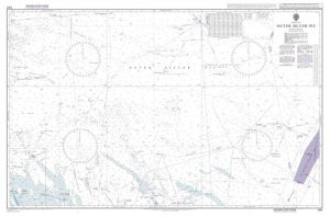
 Bahamas Overall Chart
 Y34 Chichester and Langstone Harbours
 C28 Harwich to Wells-next-the-Sea
Y34 Chichester and Langstone Harbours SUPERCEDED
C28 Harwich to Wells-next-the-Sea
Y34 Chichester and Langstone Harbours SUPERCEDED
 Imray Chart C2: The River Thames
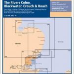 Y17 The Rivers Colne, Blackwater, Crouch and Roach
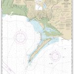
 A14 San Juan to Isla de Vieques and Isla de Culebra
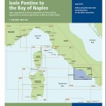 M46 Isole Pontine to the Bay of Naples
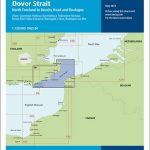 C8 Dover Strait
 C57 Tuskar Rock to Old Head of Kinsale
 C59 Bristol Channel
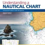 Understanding a Nautical Chart – A Practical Guide to Sea Navigation
 C53 Donegal to Rathlin
 C33A Channel Islands
 M14 Barcelona to Bouches du Rhone
 C58 Trevose Head to Bull Point
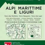 Maritime and Ligurian Alps IGC 8
 A231 Virgin Islands: St Thomas to Virgin Gorda
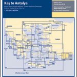 G40 Kas to Antalya
List of Lights – Volume N: East Mediterranean & Black Seas SUPERCEDED
C23 Fife Ness to Moray Firth
G40 Kas to Antalya
List of Lights – Volume N: East Mediterranean & Black Seas SUPERCEDED
C23 Fife Ness to Moray Firth
 Admiralty Chart 4113 – Greenland and Norwegian Seas
 Admiralty Chart 4010 – Norwegian Sea and Adjacent Seas