Disclosure : This site contains affiliate links to products. We may receive a commission for purchases made through these links.
Mรฝvatnsรถrรฆfi
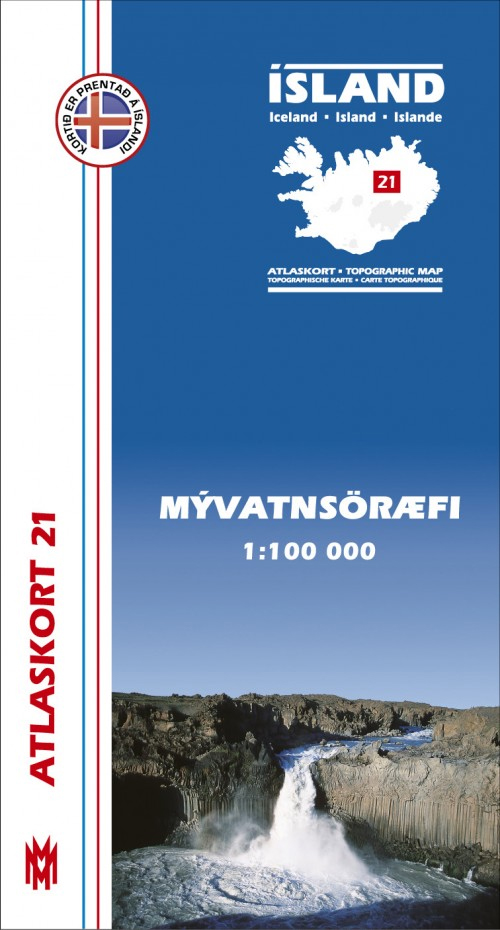
Mรฝvatnsรถrรฆfi, map no. 21, in the topographic survey of Iceland at 1:100,000 published by Mรกl og menning, with excellent, vivid presentation of the terrain, footpaths and bridleways, campsites, etc. The maps have contours at 20m intervals, enhanced by bold relief shading plus colouring and/or graphics to show glaciers, lava fields, sands and mudflats, as well as to distinguish land with vegetation cover from the more sparsely covered terrain. The series provides a splendid presentation of the country’s topography, with large amount of detail and over 43,000 place names.Road network indicates gravel roads and includes country tracks. Also marked are local footpaths, clear to see with their distinctive colouring, and bridleways. Symbols shows campsites, tourist huts or shelters, emergency shelters, summer houses, river fords, golf courses and swimming pools, hydro-electric or thermal power stations, local airports, etc, and detail such as individual farms, abandoned farms or ruins, sheepfolds, etc. Each map covers an area of 84 x 67km (53 x 42 miles approx.) and has latitude and longitude lines drawn at intervals of 2’ and 5’ respectively. Map legend includes English, German and French.To see the other titles in this series please click on the series link.

Related Products:
 Mรฝrar
 รrnes
รrnes
 Snรฆfell
 Reykjanesskagi
 Dalir
Dalir
 Strandir
 Skagi
Skagi
 Vatnsdalur
 Kelduhverfi
 Langanes
 Snรฆfellsjรถkull
 Barรฐastrรถnd
 Arnarfjรถrรฐur
 Jรถkulfirรฐir
 Langjรถkull
 Veiรฐivรถtn
 Hofsjรถkull
 Nรฝjabรฆjarfjall
 Eyjafjรถrรฐur
 ร–xarfjรถrรฐur
 Kverkfjรถll
 ร–rรฆfajรถkull
 Hornafjรถrรฐur
 Fljรณtsdalshรฉraรฐ
 Vopnafjรถrรฐur
 Seyรฐisfjรถrรฐur
 Reyรฐarfjรถrรฐur
 Skeiรฐarรกrsandur
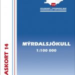 Mรฝrdalsjรถkull – Eyjafjallajรถkull
 Iceland 1:100,000 Complete Set (31 maps)
Iceland: Mรกl og menning`s 100K Topographic Survey Maps
Iceland 1:100,000 Complete Set (31 maps)
Iceland: Mรกl og menning`s 100K Topographic Survey Maps
 Hornstrandir
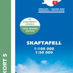 Skaftafell
 Snรฆfellsnes
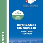 Reykjanes – รingvellir
 Lรณnsรถrรฆfi – Snรฆfell
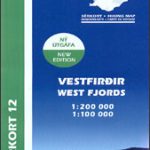 Western Fjords
 Gullfoss – Geysir – Hekla
 Kjรถlur – Langjรถkull – Kerlingrafjรถll
 Akureyri – Mรฝvatn – Dettifoss