Disclosure : This site contains affiliate links to products. We may receive a commission for purchases made through these links.
Lower Austria – Vienna – Burgenland
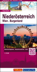
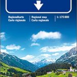
Austrian provinces of Lower Austria and Burgenland on an indexed, double-sided touring map at 1:175,000 from Hallwag Kรผmmerly + Frey, printed on durable, waterproof and tear-resistant synthetic paper. Coverage, with good overlap between the sides, extends from Linz to Bratislava, and in the south-east to Szombathely in Hungary.Clear and easy to read road network highlights scenic roads and indicates motorway junction numbers and services, steep gradients and winter closures, roads not recommended to or closed to caravans, etc. Driving distances are marked on main and on most connecting local routes. Railway lines are shown with stations and include heritage tourist routes. Various places of interest are highlighted. The map also indicates campsites and youth hostels. Topography is presented by light, unobtrusive relief shading with plenty of names of mountain ranges, etc, plus colouring for woodlands and boundaries of national/natural parks. The map is indexed and has latitude and longitude lines at intervals of 10’. Map legend includes English.To see other maps in this series please click on the series link.

Related Products:
 Lower Austria F&B Top 10 Tips
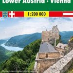
 Lower Austria – Vienna – Upper Austria – Northern Burgenland 200K Marco Polo Zoom Map
 Upper Austria – Salzkammergut
 Austria: Hallwag K+F 175K Regional Maps
 Lower Austria F&B
 Burgenland F&B Top 10 Tips
 Upper Austria F&B Top 10 Tips
 Burgenland F&B
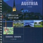 Austria F&B Roads & Cities Atlas
Austria: Freytag & Berndt 150K “Top 10 Tips” Road Maps
Austria F&B Roads & Cities Atlas
Austria: Freytag & Berndt 150K “Top 10 Tips” Road Maps
 Austria F&B Motorcycle Road Atlas
 Austria – Liechtenstein – South Tyrol Marco Polo Road Atlas
 Vorarlberg – Tyrol K+F Road Map
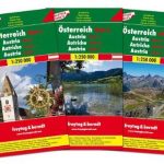 Austria F&B 3-Map Set
 Austria F&B Road Map Set
 Lower Austria Rivers Cycle Paths Bikeline Map-Guide
 Lower Saxony – Bremen F&B
 Lower Lough Erne OSNI Discovery 17
 Upper Austria F&B
 Lower Saxony – Bremen – Hamburg Marco Polo Regional Map 3
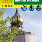 Styrian Thermal Region – Southern Burgenland – Styrian Vulkanland F&B WK423
 Lake Constance F&B Touring Map
 Austria F&B Great Travel Atlas
Lake Constance F&B Leisure & Panorama
Austria F&B Great Travel Atlas
Lake Constance F&B Leisure & Panorama
 Vienna Woods F&B WK011
 Austria: Freytag & Berndt Cycling Maps
 Austria: Freytag & Berndt 200K Road Maps
 Carinthia F&B Top 10 Tips
 Cote d`Azur – French Riviera F&B Top 10 Tips
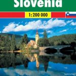 Slovenia F&B
 Salzburg State F&B Top 10 Tips
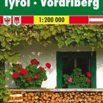
 Tyrol F&B Top 10 Tips
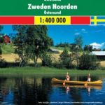 Sweden North – Ostersund F&B
 Anyksciai Regional Park Tourist Map
 Swedish Lapland – Kiruna F&B
 Vorarlberg F&B Top 10 Tips
 Styria F&B Top 10 Tips
 Burgenland 2-Map Set Kompass 227
 Finland East Karttakeskus Road Map
 Thuringian Forest – Spessart – Lower Franconia F&B Road and Leisure Map