Disclosure : This site contains affiliate links to products. We may receive a commission for purchases made through these links.
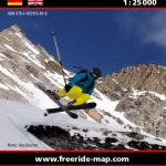
Lotschental Freeride Map
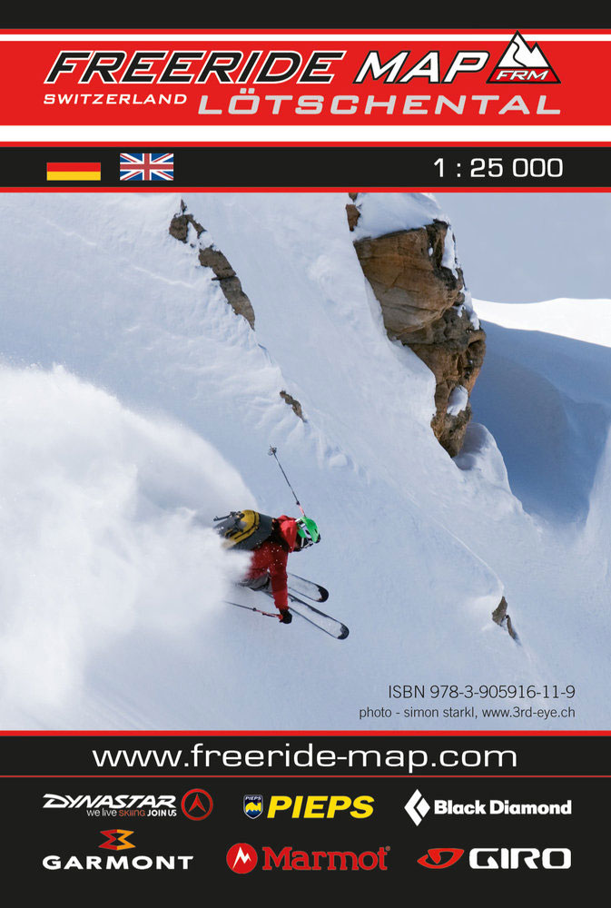
The best rides in the freeride hot spots of the Alps ‘“ this is the simple formula of the Freeride Maps. The first map available to freeriders is making the locals freeride knowledge available to a broad public.All ridable slopes, drops and couloirs are marked as freeride corridors in different colours for three difficulty ratings: blue for technically easy terrain, yellow requires advanced to very advanced ability and red is extremely difficult terrain that is partially exposed and therefore reserved to crack riders. Short ascents are marked with red lines.The Freeride Maps are based on topographic maps 1:25,000. They contain all essential information about the terrain that is necessary for planning and going freeriding. The maps are printed on water resistant and indestructible paper. On the back side, the maps include all relevant planning, safety and rescue information.

Related Products:
 Montafon Freeride Map
 Annivers Freeride Map
 Arlberg Freeride Map
 Solden Freeride Map
 Stubai Freeride Map
 Fieberbrunn Freeride Map
 Pitztal Freeride Map
 Livigno Freeride Map
 Vals Freeride Map
 Andermatt Freeride Map
 Disentis Freeride Map
 Lenzerheide Freeride Map
 Engelberg Freeride Map
 Zermatt Freeride Map
 Les Arcs Freeride Map
 La Plagne Freeride Map
 Monte Rosa Freeride Map
 Obergurgl – Hochgurgl Freeride Map
 Kitzbuhel East Freeride Map
 Kitzbuhel West Freeride Map
 Oberstdorf – Kleinwalsertal Freeride Map
 Davos North Freeride Map
 Davos South Freeride Map
 Samnaun – Ischgl Freeride Map
 Saint Moritz Freeride Map
 Tignes – Val d`Isere Freeride Map
 Alpe d`Huez Freeride Map
 Chamonix North Freeride Map
 Serre Chevalier Freeride Map
 Portes du Soleil Freeride Map
 Grenoble Select Freeride Map
 Les Deux Alpes Freeride Map
 Schilthorn – Jungfrau Region Freeride Map
 Garmisch – Zugspitz-Arena Freeride Map
 Lech – Zurs – Warth Freeride Map
 La Grave – La Meije Freeride Map
 La Clusaz Freeride Map
 Trois Vallees – Val Thorens Freeride Map
 Trois Vallees – Meribel Freeride Map
 Glacier 3000 – Alpes Vaudoises Freeride Map