Disclosure : This site contains affiliate links to products. We may receive a commission for purchases made through these links.
London view by Robert Laurie & James Whittle c.1890 SMALL
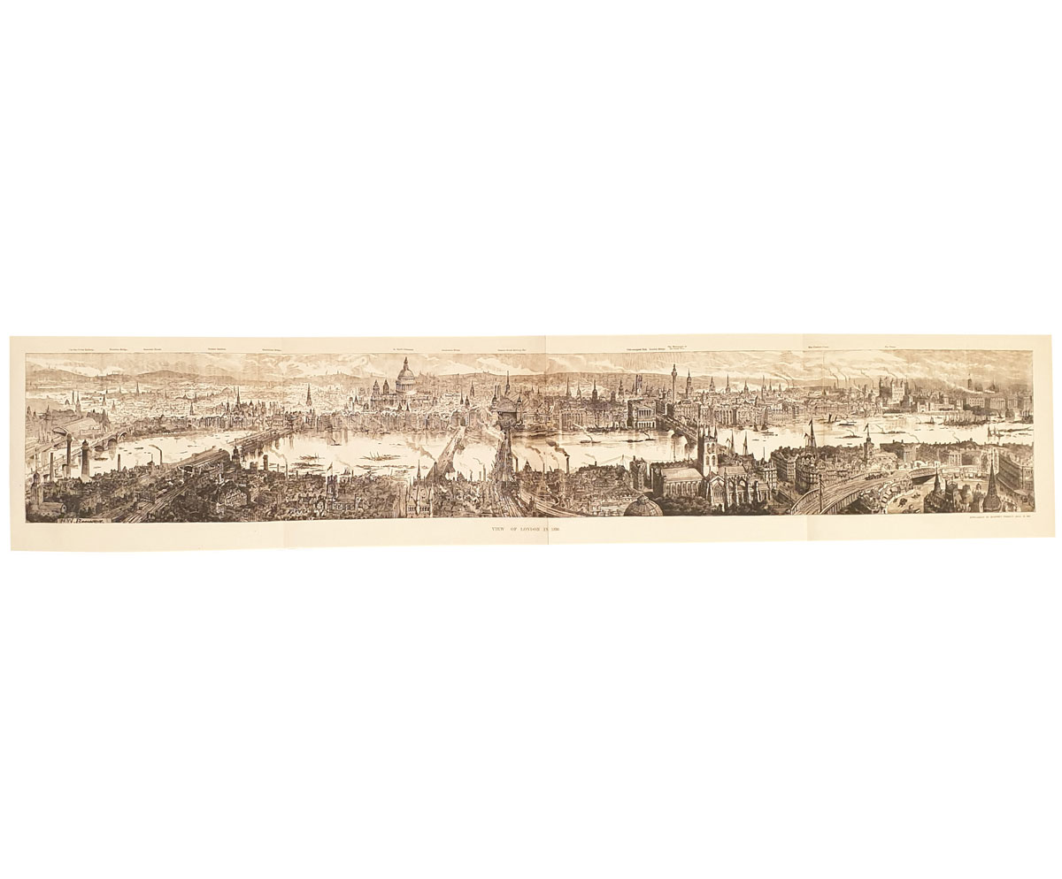
Small size cloth-backed version of a reproduction by Old Folding Maps of A New Map of London around 1800, published by Robert Laurie and James Whittle. The map shows the capital with its main streets and access roads already coloured in as on present-day mapping. Also highlighted are London’s parks and other open green spaces, as well as the boundary of the City of London. Coverage extends north to Kentish Town and Newington Green; east to Bow, Blackwell and Greenwich; south to Peckham, Camberwell and Battersea; and west to include most of Kensington Gardens.This reproduction was taken from what used to be called a ‘cloth-dissected” map, made when the map itself was cut into sections and each section then individually pasted onto an overall cloth backing for the whole map. In this version the whole map is backed onto cloth in one piece but the gaps between the sections have been reproduced in the printing to preserve the style and the feeling of the original. Each individual map is presented folded in a colourful case covered with a unique design marbled paper ‘“ no two cases are identical.PLEASE NOTE: this title is also available in a larger size. To see the list of all the titles in this series from Old Folding Maps please click on the series link.

Related Products:
 London: A New Map of London by Robert Laurie & James Whittle c.1800 MEDIUM
 London: Rocque London c. 1741-5 MEDIUM
London: Rocque London c. 1741-5 SMALL
London: Rocque London c. 1741-5 MEDIUM
London: Rocque London c. 1741-5 SMALL
 A New Map Of London c.1800
 London: Daniel Paterson`s 24 Miles Round London with Seats of Gentry and Nobility c.1791 MEDIUM
London: Daniel Paterson`s 24 Miles Round London with Seats of Gentry and Nobility c.1791 SMALL
London: Daniel Paterson`s 24 Miles Round London with Seats of Gentry and Nobility c.1791 MEDIUM
London: Daniel Paterson`s 24 Miles Round London with Seats of Gentry and Nobility c.1791 SMALL
 Cruchley`s London 1832
World Regions c. 1890 MEDIUM
Cruchley`s London 1832
World Regions c. 1890 MEDIUM
 London: Lewis` Topographical Dictionary Plan 1840 MEDIUM
 World on Mercator`s Projection by James Wyld c.1861 MEDIUM
Suffolk 1801 County Map SMALL
World on Mercator`s Projection by James Wyld c.1861 MEDIUM
Suffolk 1801 County Map SMALL
 Africa: Gall & Inglis Map c.1854 SMALL
Africa: Gall & Inglis Map c.1854 MEDIUM
Africa: Gall & Inglis Map c.1854 SMALL
Africa: Gall & Inglis Map c.1854 MEDIUM
 London: Urbium Londini et West Monasterii c.1736 MEDIUM
 London: Urbium Londini et West Monasterii c.1736 SMALL
 Palestine or the Holy Land c.1818 MEDIUM
Palestine or the Holy Land c.1818 SMALL
China c. May, 1828
Palestine or the Holy Land c.1818 MEDIUM
Palestine or the Holy Land c.1818 SMALL
China c. May, 1828
 China c. May, 1828 MEDIUM
British Isles Geological MEDIUM
British Isles Geological SMALL
Norfolk 1801 County Map SMALL
China c. May, 1828 MEDIUM
British Isles Geological MEDIUM
British Isles Geological SMALL
Norfolk 1801 County Map SMALL
 England and Wales: Brookes` Travelling Companion Map MEDIUM
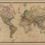 The World On Mercators Projection C.1861
 Ireland: A New Map by William Faden c.1797 MEDIUM
 Ireland: A New Map by William Faden c.1797 SMALL
Old Folding Maps Reproductions of Historical Maps
Ireland: A New Map by William Faden c.1797 SMALL
Old Folding Maps Reproductions of Historical Maps
 France: James Wyld`s Map of the French Provinces c.1844 MEDIUM
Paris: Plan de Paris c.1818 SMALL
Paris: Plan de Paris c.1818 MEDIUM
France: James Wyld`s Map of the French Provinces c.1844 MEDIUM
Paris: Plan de Paris c.1818 SMALL
Paris: Plan de Paris c.1818 MEDIUM
 Sweden, Norway and the Baltic Sea c.1828 SMALL
 Paris: Plan de Paris et ses Fortifications c.1844 MEDIUM
 Paris: Plan de Paris et ses Fortifications c.1844 SMALL
 Europe: Cruchley`s New Map of Europe c.1860 SMALL
 London: Robert Sayer`s London Directory Map 1792 MEDIUM
 British Empire c.1895 SMALL
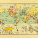 British Empire c.1895 MEDIUM
 London: Robert Sayer`s London Directory Map 1792 SMALL
Europe: Cruchley`s New Map of Europe c.1860 MEDIUM
London: Robert Sayer`s London Directory Map 1792 SMALL
Europe: Cruchley`s New Map of Europe c.1860 MEDIUM
 Australian Colonies and New Zealand c.1874 MEDIUM