Disclosure : This site contains affiliate links to products. We may receive a commission for purchases made through these links.
Lofoten – Vaeroy
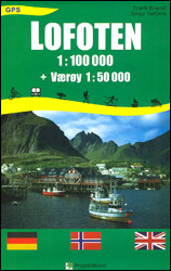
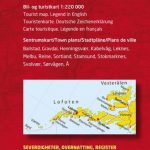
Lofoten Islands on a GPS compatible map at 1:100,000 from ProjektNord, with a vivid presentation of the islands’ topography, plenty of tourist information, plus an enlargement showing Vรฆrรธy in greater detail at 1:50,000. The map presents the whole of the Lofoten archipelago at 1:100,000 with Vรฆrรธy plus Rรธst and the southernmost islands on separate panels. Coverage includes the whole of Austvรฅgรธya, with its northernmost tip shown on an inset.The islands’ topography is shown by contours at 50m intervals, vividly enhanced by bold relied shading, plus numerous spot heights and graphics/colouring for woodlands and marshes. Road network indicates main and secondary roads, showing connections between the islands on bridges, in tunnels and via ferry routes. Also marked are local country trails. A wide range of symbols highlights various tourist facilities including hotels, cabins, fishermen’s huts, campsites, restaurants and cafes, boat and coach trips, cycle rentals, etc. The map has a 5-km UTM grid, plus margin ticks for latitude and longitude at 15’ intervals. Map legend includes English.

Related Products:
 Lofoten West Nordeca 2745
 Lofoten and Vesteralen Islands
 Lofoten Nordeca Tourist Route 20014
 Lofoten Nordeca 2549
 Lofoten Climbs Rockfax: Rock Climbing on Lofoten and Stetind in Arctic Norway
 Central and North Norway: Bodรธ – Lofoten
 Lofoten – Vesteralen Islands – Senja Cappelen Sectional Road Map
 Lofoten PhoneMaps Outdoor Map 104
 The Lofoten Islands – A Sea Kayak Guide to the Magical Isles
 Lofoten and Vesterรฅlen Rother Guide
 Lofoten Nordeca Sightseeing Map 6022
 Vestvรฅgรธy Nordeca 2673
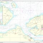
 NGA Chart 43000 – Lofoten to Spitsbergen
 Faroe Islands
 Admiralty Chart 2328 – Lofoten to Vesteralen
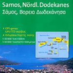 Samos & Northern Dodecanese Islands 50K Kompass Map No.253
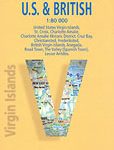
 Virgin Islands (US and British) ITMB
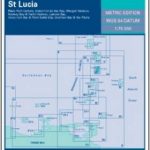
 Dominica & Saint Lucia ITMB
 Fiji & Tonga ITMB
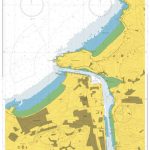
 Moskenesoya & Flakstadoya – Lofoten
Vestvagoya – Leknes – Lofoten
Moskenesoya & Flakstadoya – Lofoten
Vestvagoya – Leknes – Lofoten
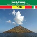 Aeolian (Lipari) Islands and Southern Italy F&B
 Aeolian (Lipari) Islands Global Map Tourist Map
 Sulawesi Reise Know-How
 Mayotte IGN Map 84976
 Central Norway – Lofoten – Narvik – Bronnoysund K+F Regional Road Map
 Antigua and Barbuda
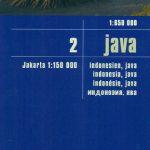 Java Reise Know-How
 Vesteralen – Hinnoya South Nordeca 2811
 Virgin Islands Borch
 Svalbard Tourist Map
 Cape Verde Islands Reise Know-How
 Vagan Nordeca 2671
 Antigua & Dominica ITMB
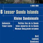 Lesser Sunda Islands – Bali to East Timor Reise Know-How
 Japan F&B
 Brisbane to Cairns Hema
 Dalmatia 2-Map Set
 Sikkim & India Northeast ITMB
 Balearic Islands Michelin Regional 579